Catalog Archive
Auction 129, Lot 651
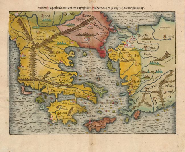
"Neuw Griechenlandt mit andern anstossenden Landern wie es zu unsern zeiten beschriben ist", Munster, Sebastian
Subject: Greece
Period: 1550 (circa)
Publication: Cosmographia
Color: Hand Color
Size:
13.5 x 10 inches
34.3 x 25.4 cm
Download High Resolution Image
(or just click on image to launch the Zoom viewer)
(or just click on image to launch the Zoom viewer)


