Catalog Archive
Auction 129, Lot 58

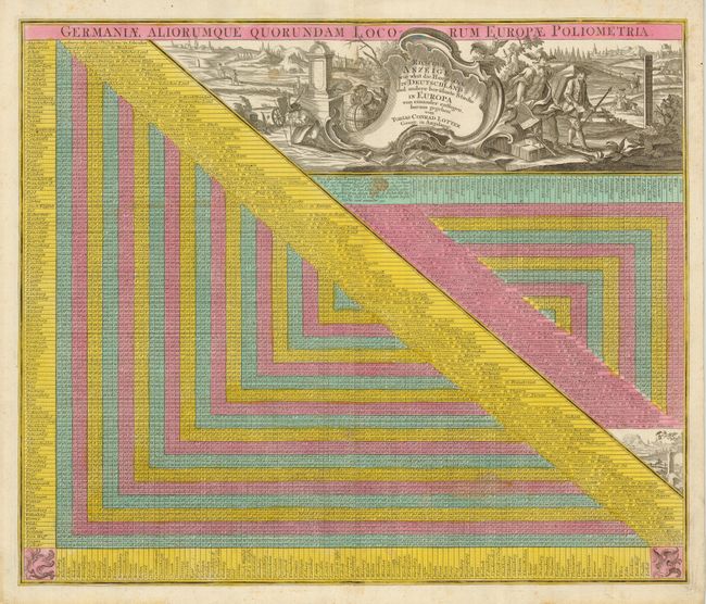
"Germaniae Aliorumque Quorundam Locorum Europae Poliometria. Richtige Anzeige wie weit die Hampt - Orte in Aeutschland und andere beruhmte Staedte in Europa…", Lotter, Tobias Conrad

Subject: Cartographic Miscellany

Period: 1760 (published)

Publication:

Color: Hand Color

Size:
21.8 x 18.3 inches
55.4 x 46.5 cm
Download High Resolution Image
(or just click on image to launch the Zoom viewer)

This unusual thematic chart shows the traveling distances from various European cities in a style that is still used today. The densely engraved chart includes two scales to show the traveling distances. The chart also gives the distance to select cities outside of Europe including Jerusalem and London. There are over 200 cities included. The huge title cartouche incorporates a complex vignette of human activities and a large shell holding the title. Blank verso.

References:

Condition: B+

On thick hand laid paper with original margins and strong original color. There is one spot in map just below the cartouche, else very good.

Estimate: $200 - $275

Sold for: $100

Closed on 9/23/2009

Archived