Catalog Archive
Auction 129, Lot 500

"Pas-caert van de Canael Tusschen Engelandt en Vranckryck, van Pleymuyen tot aen de Sorlinges, al Mede van Portbimel tot aen Heyssant", Keulen, Johannes van

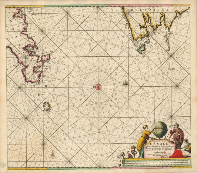
Subject: English Channel

Period: 1700 (circa)

Publication:

Color: Hand Color

Size:
22 x 19.5 inches
55.9 x 49.5 cm
Download High Resolution Image
(or just click on image to launch the Zoom viewer)

This uncommon sea chart is beautifully and darkly engraved. The seas are filled with rhumb lines and two ships are added to further help fill the vast emptiness of this portion of the English Channel. North is at the left. At the top of the chart a portion of the coastlines of Brittany, France and Cornwall, England are included. The many hazards to ships near the Isles of Scilly are identified. Locates the towns of Brest, Penzance, and more. A large title cartouche features several women and putti employed in map making activities around a large globe and incorporates the distance scale.

References:

Condition: A

Short split in margin at centerfold. Otherwise a fine example with a very dark impression and great color.

Estimate: $300 - $350

Sold for: $220

Closed on 9/23/2009

Archived