Catalog Archive
Auction 129, Lot 383
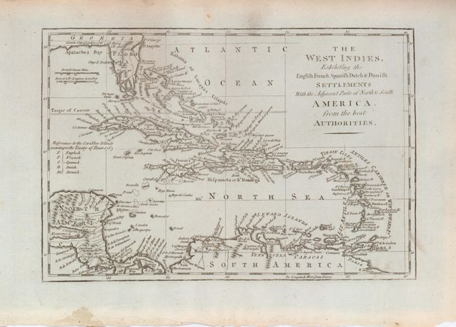
"The West Indies Exhibiting the English French Spanish Dutch & Danish Settlements with the Adjacent Parts of North & South America from the Best Authorities", Middleton, Charles T.

Subject: Caribbean
Period: 1779 (published)
Publication: Middleton's Complete System of Geography
Color: Black & White
Size:
11.2 x 7.4 inches
28.4 x 18.8 cm
Download High Resolution Image
(or just click on image to launch the Zoom viewer)
(or just click on image to launch the Zoom viewer)

