Catalog Archive
Auction 129, Lot 274
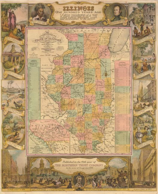
"Illinois One Hundred Years Ago A direct reproduction of a map of Illinois published in 1834. The panels portray important events and developments of the period", Mitchell/Young

Subject: Illinois
Period: 1934 (dated)
Publication:
Color: Printed Color
Size:
17.5 x 21.3 inches
44.5 x 54.1 cm
Download High Resolution Image
(or just click on image to launch the Zoom viewer)
(or just click on image to launch the Zoom viewer)

