Subject: Florida
Period: 1910 (dated)
Publication:
Color: Printed Color
Size:
26.8 x 36.5 inches
68.1 x 92.7 cm
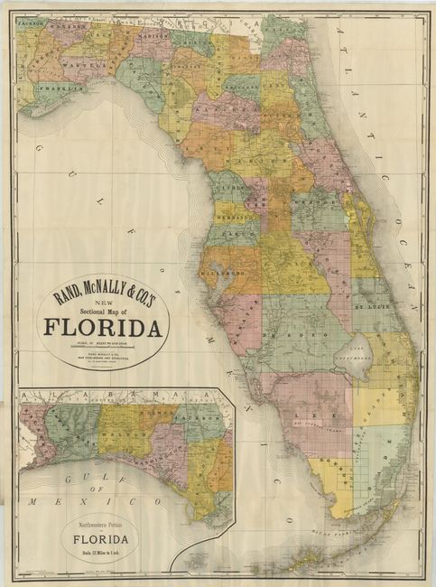
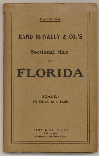
A large pocket map with incredible detail throughout on a scale of 12 miles to the inch. The colorful map folds into original paper covers (4 x 6.6") with the same title but without the word "New." Very large inset "Northwest Portion of Florida" is drawn on the same scale. The map locates counties, townships, towns, roads, and railroads as well as watershed, swamps and coastal detail. Originally drawn in 1898 this is the new edition of 1910. Blank verso.
References:
Condition: B+
Map is clean and bright with strong color. Some small fold intersection splits and a short tear at top enters map about an inch, closed on verso. Covers are very good.


