Subject: District of Columbia
Period: 1883-97 (published)
Publication:
Color:
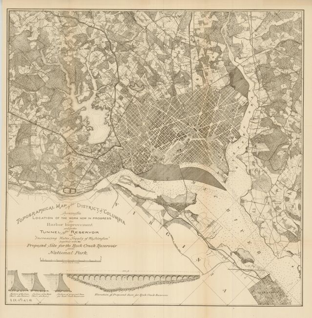
1) Topographical Map of the District of Columbia Showing the Location of the Work Now in Progress for Harbor Improvement…, U.S. Government, 1883, (20 x 20"), Senate Ex. Pt 6, 48th Congress, 1st Session, B&W. With Washington D.C. at the center, the map covers an area ten miles by ten miles. Subtitled "Increasing Water Supply of Washington", it meticulously details roads, farms, waterways and names of landowners. The proposed reservoir on Rock Creek is shown, but was never built. An elevation plan below shows the proposed dam plus three design sections.
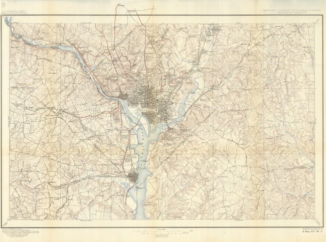
2) Maryland - District of Columbia - Virginia Washington Quadrangle, U.S. Geological Survey, 1897, (28.5 x 19"), S. Rep. 675, 55th Congress, 2nd Session, printed color. This map was originally drawn in 1885, this being the fifth updated edition of 1897. Centered on Washington, the map extends 17 miles north-south and 27 miles east-west. The remarkable political and topographical detail is typical of these early USGS maps. It includes buildings in the vast rural area, railroads, and much more. Locates Alexandria, Upper Marlboro, College Park, Collington, Prospect Hill, Ravensworth, etc.
References:
Condition: A+
Both folding as issued.


