Catalog Archive
Auction 129, Lot 123

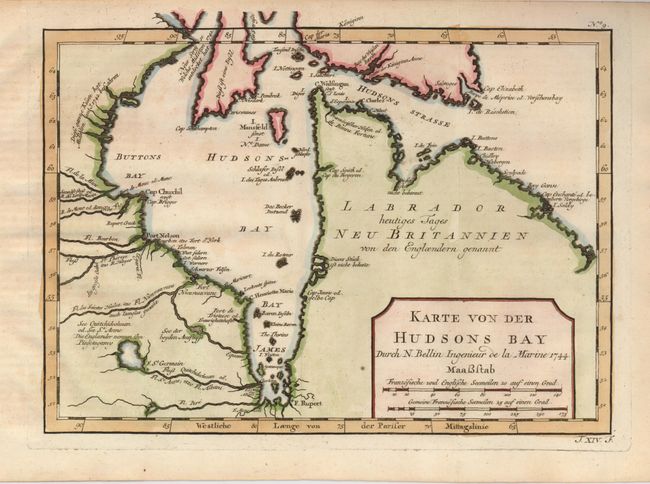
"Karte von der Hudsons Bay", Bellin, Jacques Nicolas
Subject: Canada

Period: 1744 (dated)

Publication: Allegmeine Historie der Reisen zu Wasser und zu Lande

Color: Hand Color

Size:
11.3 x 8 inches
28.7 x 20.3 cm
Download High Resolution Image
(or just click on image to launch the Zoom viewer)

Map details the bay up to about the 65° N. latitude and names James Bay, Buttons Bay, numerous islands including Mansfeld, Akimiski (here Agamasque), Weston, Roteur, and some of Southampton (here Diess ift eine Insel), plus numerous rivers feeding into the bay. Forts St. Germain, Rupert, Nieuvesarne, d'York, and Se. Anne are located. Also names many capes and other coastal places including Port Nelson. Dated 1744, but published in 1756 by Arkstee & Merkus.

References: Kershaw #424.

Condition: A

Faint toning, mostly in margins.

Estimate: $120 - $160

Sold for: $90

Closed on 9/23/2009

Archived