Subject: Atlases
Period: 1825 (circa)
Publication:
Color: Hand Color
Size:
5.8 x 8.5 inches
14.7 x 21.6 cm
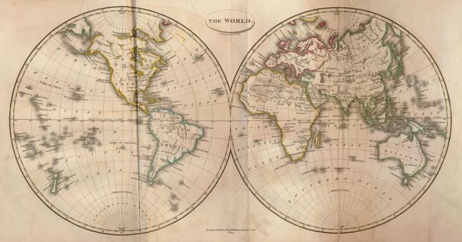
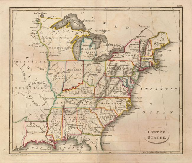
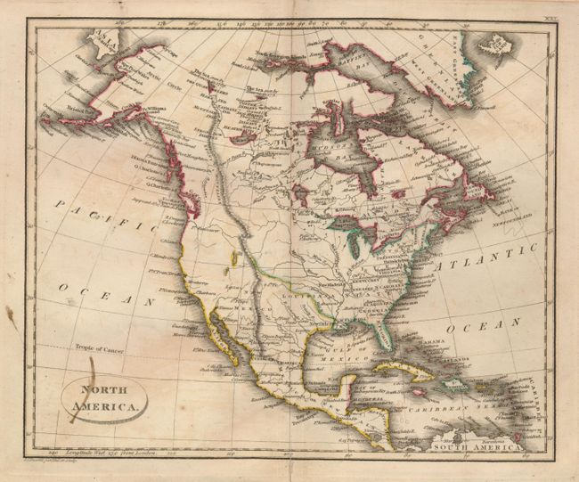
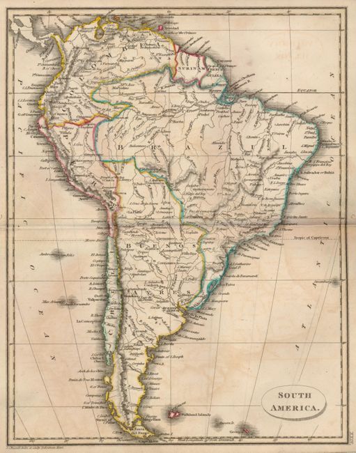
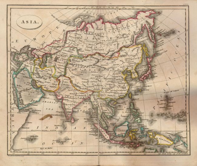
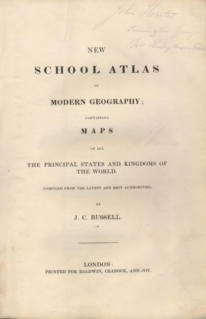
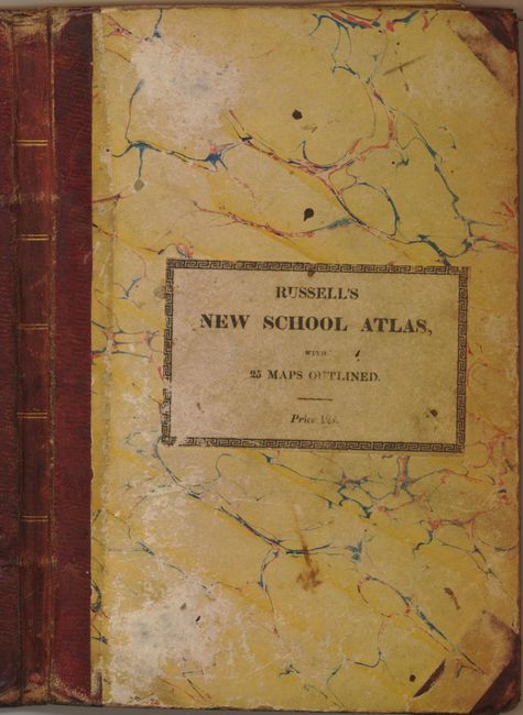
This complete atlas was published by Baldwin, Cradock, and Joy of London. It contains 25 folding maps as called for: The World (in hemispheres); Europe (worm holes at top centerfold); England (split at centerfold due to attachment to backstrap); Scotland; Ireland; Russia; Sweden and Norway; Denmark; Germany (two small ink spots in map); Netherlands; France in Provinces; France in Departments; Spain and Portugal; Switzerland; Italy; Turkey and Hungary; Asia; Hindostan (stains at center); East Indian Islands; Africa; North America; United States; West Indies; South America; and Canaan, or Jedaea. Each copper engraved map is hand colored in outline. Marbled paper boards, red leather spine with gilt bands. Original paper label on front cover with title. Title page, Contents, list of Popular Works, 25 folding maps.
References:
Condition: B
Covers with bumped corners and some abrasion. Owner's name in ink on front paste-down. The maps are mostly good due to soiling or light foxing and occasional fold split. Good impressions and original hand coloring.