Subject: Atlases
Period: 1807 (circa)
Publication:
Color: Black & White
Size:
6.5 x 9.8 inches
16.5 x 24.9 cm
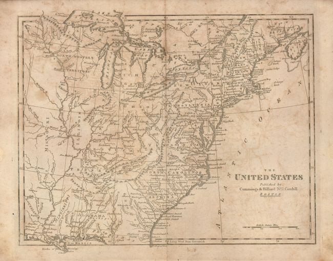
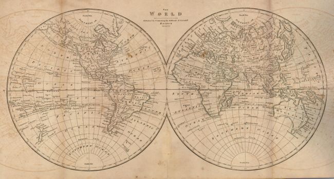
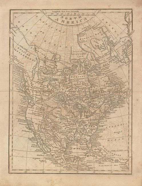
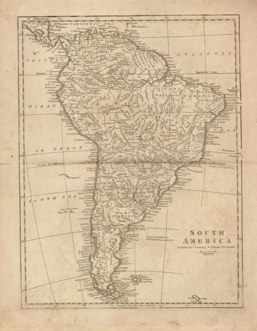
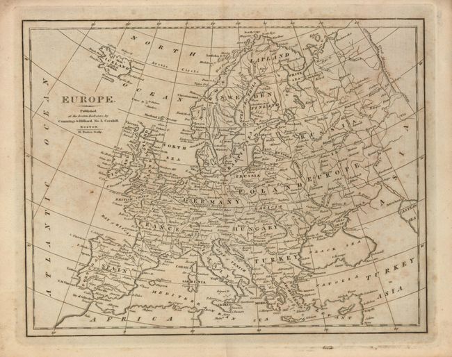
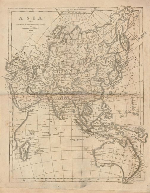
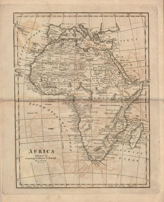
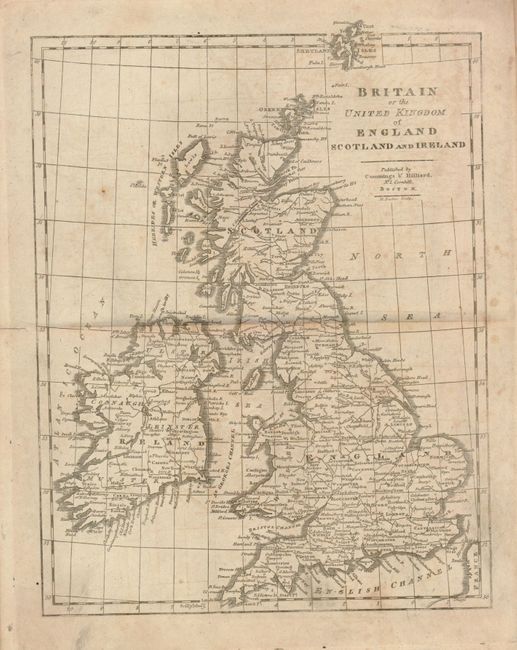
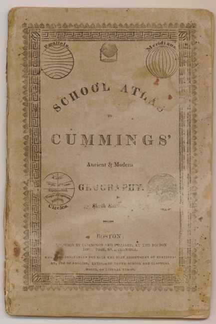
This Sixth Edition, American-produced atlas is complete with eight double-page maps of the world and continents. This early geography contains a nice early map of North America that shows the United States confined east of the Mississippi River, Louisiana taking in the central plains region and New Mexico incorporating Tecas. "The United States" map shows the US to the Mississippi River with the huge Missouri Territory and North West Territory occupying the western portion above Louisiana. In this edition Alabama is now separate from Mississippi Territory. Both Illinois and Indiana are shown well below the southern tip of Lake Michigan. Locates numerous forts and Indian tribes. Original stiff paper covers with decorative border and spheres at each corner.
References:
Condition: B
The maps are on thick paper with strong impression, but with overall foxing.