Catalog Archive
Auction 128, Lot 896

"The Pacific Ocean including Oceanica with several Divisions, Islands, Groups &c.", Thomas, Cowperthwait & Co.

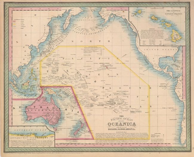
Subject: Pacific Ocean

Period: 1850 (dated)

Publication: Mitchell's New Universal Atlas

Color: Hand Color

Size:
15.7 x 12.3 inches
39.9 x 31.2 cm
Download High Resolution Image
(or just click on image to launch the Zoom viewer)

Very finely engraved chart that shows all of the Pacific Ocean with a large inset of the Sandwich or Hawaiian Islands. There are numerous notes and a smaller inset that details 1800 miles of Antarctica coastline as explored by the U.S. Exploring expedition in 1840. Sea routes for Steamers are traced from San Francisco and Panama (through Hawaii) to Manila and Canton with the mileages noted. The map is colored to show the European possessions of the British, Dutch, Spanish and Portuguese. Pale orange distinguishes those region controlled by native governments.

References:

Condition: A

Margins toned with a short tear repaired with archival tape.

Estimate: $120 - $180

Sold for: $90

Closed on 5/20/2009

Archived