Catalog Archive
Auction 128, Lot 863
"Carte Particuliere des Isles Moluques. Byzondere Kaart der Molukze Eylanden", Bellin/Van Schley
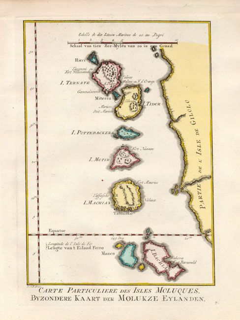
Subject: East Indies - Indonesia
Period: 1780 (circa)
Publication: Raynal's Atlas Portatiff
Color: Hand Color
Size:
6 x 8.5 inches
15.2 x 21.6 cm
Download High Resolution Image
(or just click on image to launch the Zoom viewer)
(or just click on image to launch the Zoom viewer)