Catalog Archive
Auction 128, Lot 693

"Carte Reduite de la Mer Noire, dressee pour le service des vaisseaux du Roy. Par Ordre de M. de Boynes, Secretaire d'Etat", Bellin, Jacques Nicolas
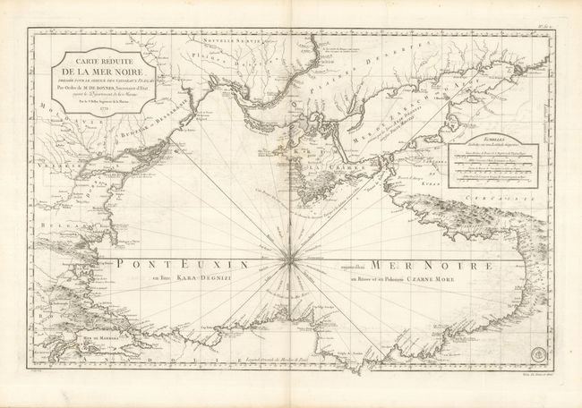
Subject: Black Sea

Period: 1772 (dated)

Publication: Hydrographie Francoise

Color: Black & White

Size:
32.5 x 21.3 inches
82.6 x 54.1 cm
Download High Resolution Image
(or just click on image to launch the Zoom viewer)

This is a stunning, large-scale sea chart of the Black Sea. The chart is centered on an elaborate compass rose and shows the coastline with incredible detail. The map is beautifully engraved by Croisey and was issued during the first phase of the Russian-Circassian War. During this period the Black Sea was a key strategic location in the power struggle between the British and French empires, the emerging Russian Empire, and the declining Ottoman Empire. The seal of the Depot de la Marine is in the lower right corner with Prix Un Franc et demi.

References:

Condition: A

Fine, sturdy paper and a dark impression with some minor offsetting that erases easily.

Estimate: $800 - $1,000

Sold for: $600

Closed on 5/20/2009

Archived