Catalog Archive
Auction 128, Lot 581

"Le Duche de Luxembourg", Fer, Nicolas de

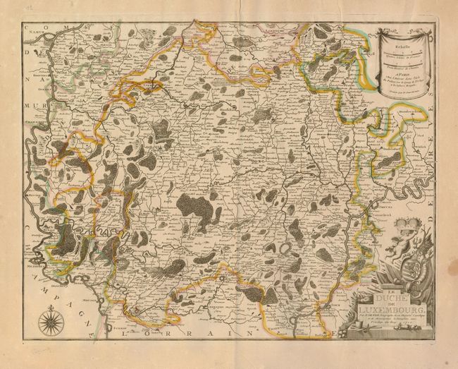
Subject: Luxembourg and Belgium

Period: 1710 (dated)

Publication:

Color: Hand Color

Size:
20 x 15.3 inches
50.8 x 38.9 cm
Download High Resolution Image
(or just click on image to launch the Zoom viewer)

This uncommon map is focused on the area between the Meuse and Moselle Rivers, showing in minute detail the area from Namur and Charleroy in the west to Stadtkyll and Thionville in the east. The map was finely engraved by P. Starckman to distinguish fortifications, cities, villages, rivers, forests and marshes. The graceful cartouche includes the crest of the Duchy of Luxembourg.

References:

Condition: A

Good impression with original outline color. Slightly toned with a stain and a small puncture in the blank margins, not affecting the map.

Estimate: $300 - $400

Sold for: $200

Closed on 5/20/2009

Archived