Catalog Archive
Auction 128, Lot 572

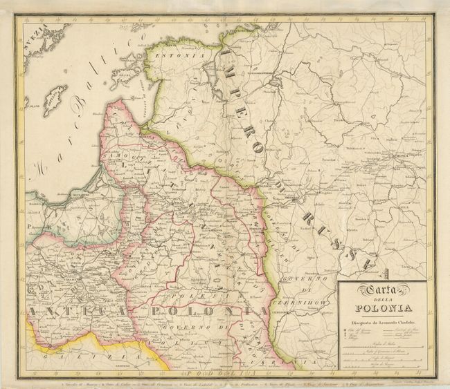
"Carta della Polonia Disegnata da Leonardo Chodzko", Chodzko, Josef

Subject: Baltic

Period: 1831 (circa)

Publication:

Color: Hand Color

Size:
21.3 x 18.8 inches
54.1 x 47.8 cm
Download High Resolution Image
(or just click on image to launch the Zoom viewer)

This is a detailed map covering from Danzig (Gdansk) through St. Petersburg along the Baltic coast and inland to Krakow and Moscow. It shows the various modern political divisions and illustrates the region of ancient Poland. Common and postal roads are shown. Engraved by J. Carolus Castellini in Florence.

References:

Condition: B+

Remargined at top with some small repairs in the other margins.

Estimate: $200 - $275

Unsold

Closed on 5/20/2009

Archived