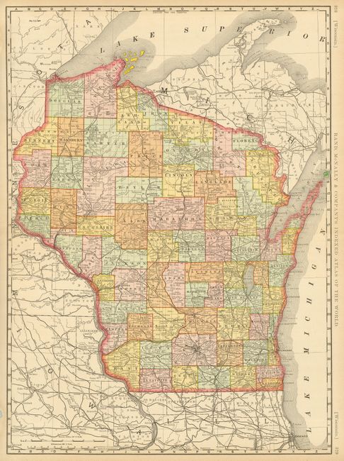
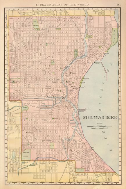
Subject: Wisconsin
Period: 1898 (dated)
Publication: Indexed Atlas of the World
Color: Printed Color
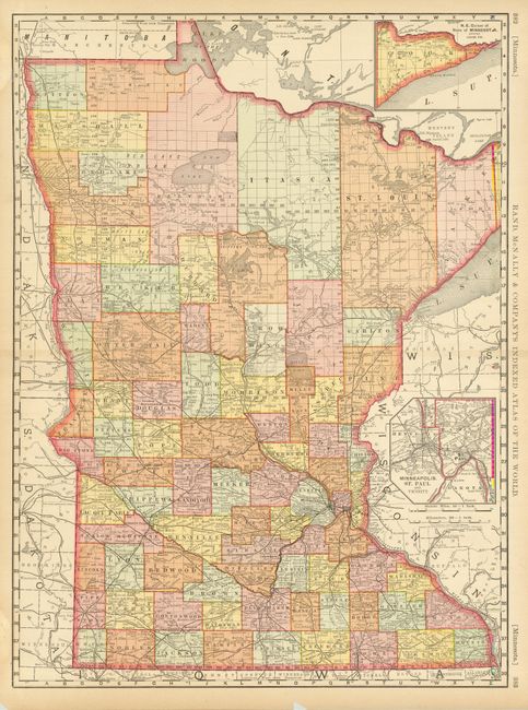
Two large, colorful maps that show the state and city at the turn of the 20th century. The state map (19 x 26") includes information on the numerous railroads and there are still some early county boundaries in the northern part of the state. The map of Milwaukee (12.5 x 19") locates public buildings, canals, railways, parks, cemeteries, and colleges. This map is on one-half of the verso of a double-page map of Minnesota. So, the lot could consist of double-page maps of Wisconsin and Minnesota, or as we have cataloged it here.
References:
Condition: B+
Some toning and tears in margins, repaired with archival tape.