Subject: Long Island, New York
Period: 1923 (dated)
Publication:
Color: Hand Color
Size:
15 x 11 inches
38.1 x 27.9 cm
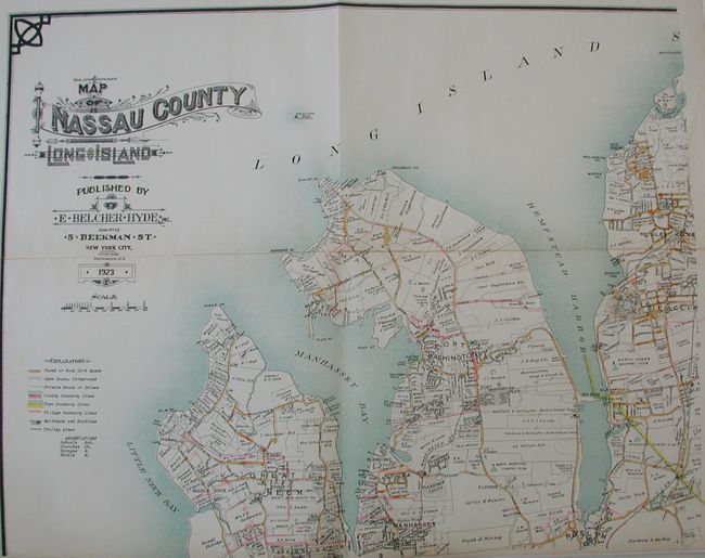
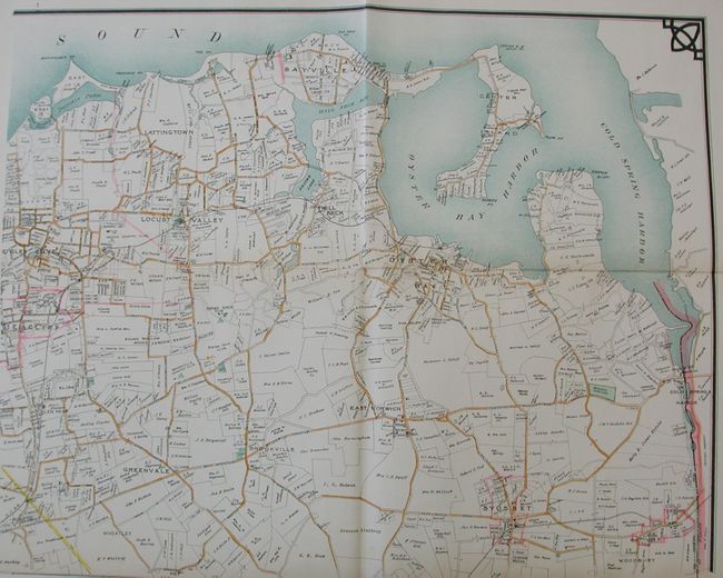
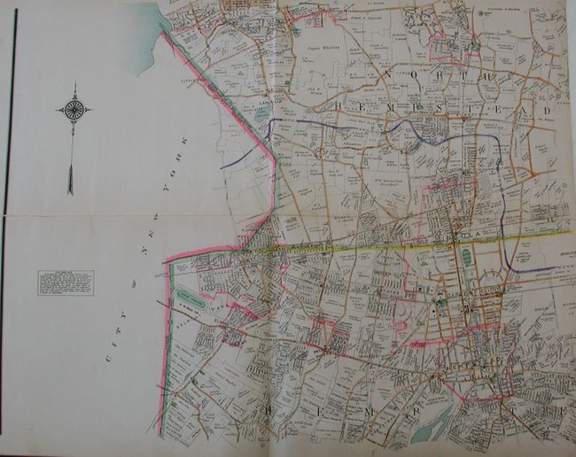
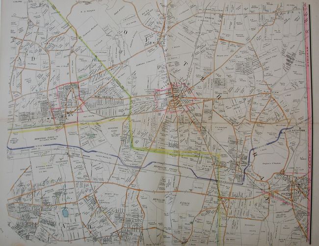
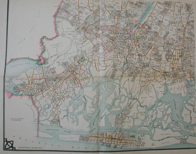
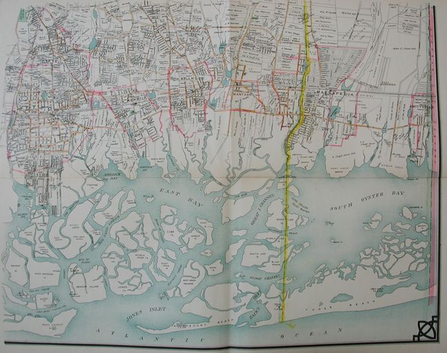
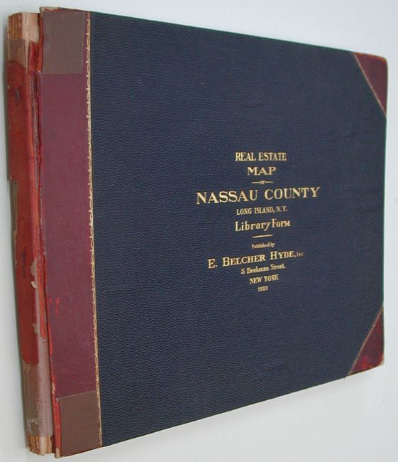
This complete atlas volume contains six linen-backed folding sheets that fold into original quarter leather and blue pebbled cloth boards. Each map measures 26 x 20" and shows all property boundaries, roads, railroads, village and township boundary lines. Each plot carries the owner's name. Hand coloring is used to identify Paved or Good Dirt Roads; County, Town & Village Boundary Lines. Different, uncolored line styles identify Open Roads, Unimproved; Private Roads or Drives; Railroads and Stations; and Trolley Lines. Further information is provided by abbreviations for schools, churches, garages, and hotels. If joined the map would measure approximately 52" x 60", surrounded by a triple border with decorative Art Deco graphic element at each outside corner. The title, in fancy lettering, is on the first sheet, with an elaborate compass rose and a fleur-de-lys on the third sheet. while together the map is Pasted onto the inside front cover is the original paper "Index to Villages and Localities as Shown on the Six Separate Sections of the Map" which lists 84 communities with the corresponding map number. This scarce atlas is packed with historical information and shows the enormous changes that have taken place to the area in less than 100 years.
References:
Condition:
All maps are fine with bright, clean paper and linen, with fine color and impression, the fifth map is a little mis-folded (A+). The covers are very nice with just a little corner bumping, but the spine is mostly perished (B). Contents tight and boards well attached to cloth of spine.