Subject: New York City
Period: 1916 (published)
Publication:
Color: Printed Color
Size:
6.5 x 9 inches
16.5 x 22.9 cm
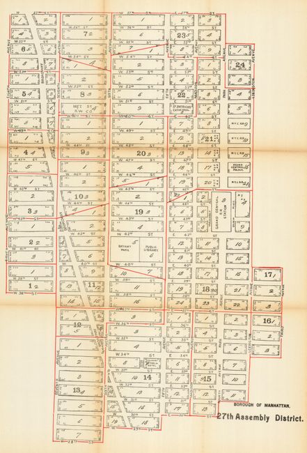
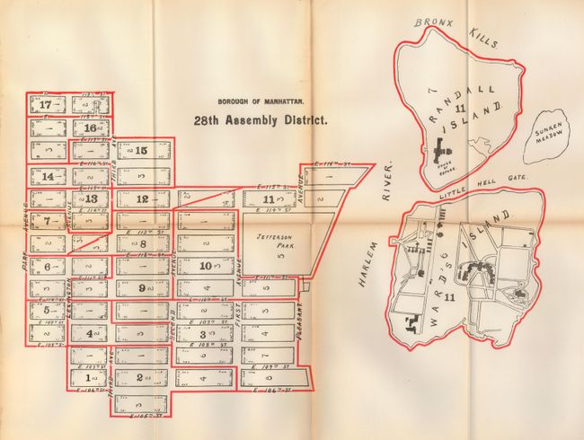
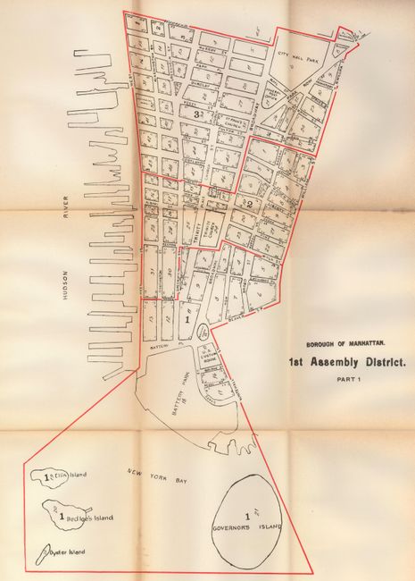
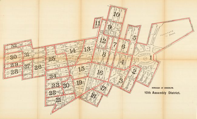
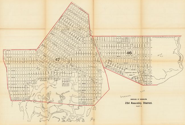
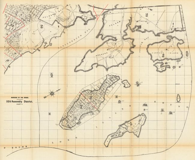
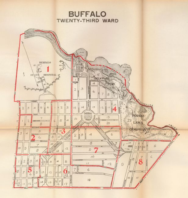
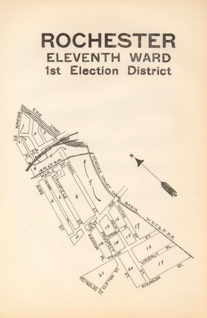
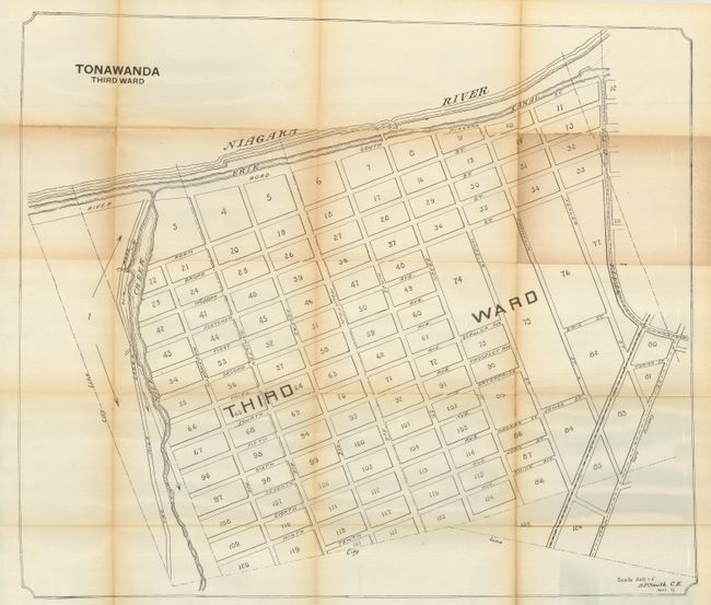
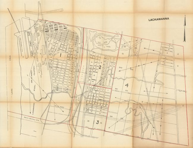
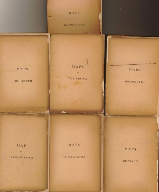
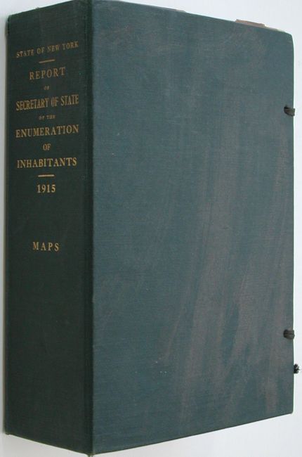
The title page continues "Francis M. Hugo Secretary of State. Transmitted to the Legislature January 17, 1916. Albany, J.B. Lyon, Printers." This large number of folding maps are of various sizes. Individually titled, each presents a detailed block/street plan, first within the group is an index map. Remarkable detail shows every plot with its address and legal description, public buildings drawn and named. Contents: approximately 33 maps of the borough of Manhattan, 30 Assembly Districts; 25 maps of Brooklyn; 11 maps of the Bronx; maps of Buffalo's 27 wards; packet of single page (6 x 9") maps of election districts for 22 wards in Rochester; five maps cover the three wards of Tonawanda; a single map of Lackawana. Each grouping of maps is separated by paper sheet "Maps of Manhattan", etc. This huge collection of maps folds to fit into green covers (6.5 x 9 x 3") with gilt title on spine. The folded maps stack 3.5 inches high!
References:
Condition: B+
Most maps B+ to fine, with occasional fold tears and/or fold toning. The separating pages are loose, as issued, with toning and chipping. Coves are fine with original cloth string ties.