Subject: New Mexico
Period: 1884-1900 (dated)
Publication:
Color: Black & White
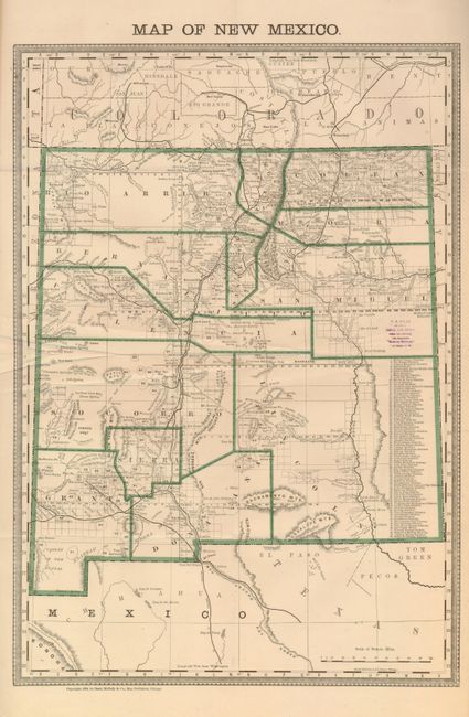
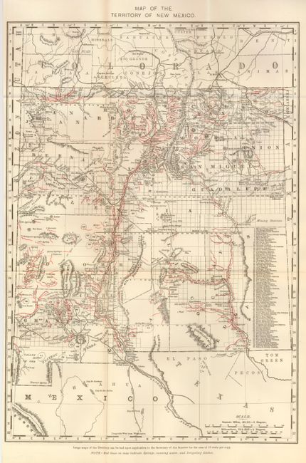
Pair of territorial maps published 16 years apart make an interesting comparison of political boundaries, railroads and mining towns; both list 80 mining districts. At first glance the maps appear identical, but on closer inspection the topography is wildly different. The first is by Rand, McNally & Co., 1884, (13 .3 x 19"), printed color. The second, 1900, by an anonymous cartographer, (13 x 18") features springs, running water and irrigation ditches indicated by red lines, roads, railroads, villages and towns and much more.
References:
Condition:
Both are folding, as issued. The former has a land dealer stamp in blank area at right, otherwise it is very good B+). The latter is fine (A+).