Subject: Western United States
Period: 1847-1860 (dated)
Publication:
Color: Hand Color
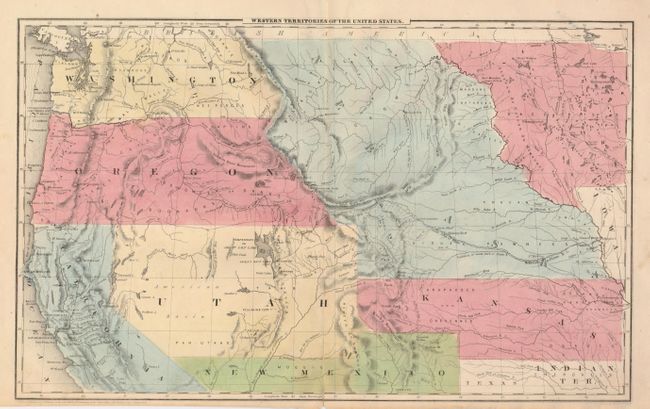
The former is from Olney's school atlas, D.F. Robinson, 1847, (17 x 11"). This second state example shows over-sized Kansas, Nebraska, Utah, Washington and Oregon Territories. Extends south into New Mexico and Texas to include Santa Fe. The Great Basin incorporates Fremont's discoveries. Short centerfold split at bottom closed on verso with a paper repair. (B+)
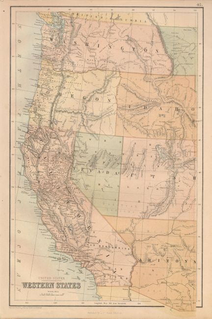
The second map is by A. & C. Black of Edinburgh, published circa 1860, (10.5" x 16.8"). This is an early printed color map that defines the states, with Arizona and Utah both occupying parts of today's Nevada. Washington extends east to the Continental Divide giving Idaho its nearly rectangular shape which lasts only a short time. Excellent detail throughout showing many villages and towns, wagon roads, immigrant routes, watershed, deserts, and more. Some marginal foxing at left. (A)
References:
Condition:
See individual descriptions.