Subject: New England
Period: 1828 (published)
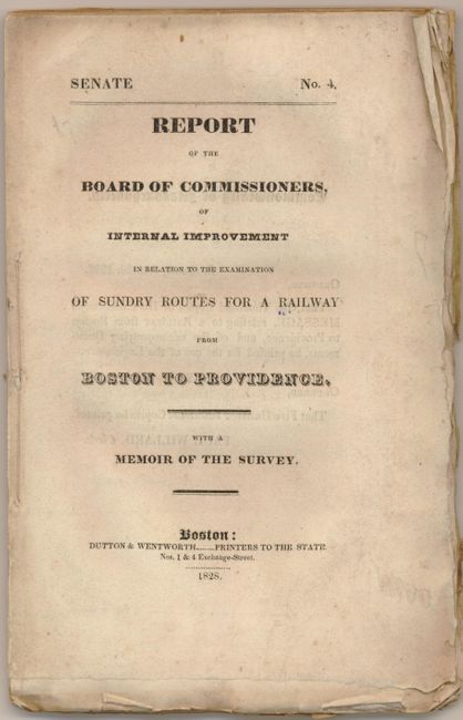
Publication: Report of the Board of Commissioners of Internal Improvement…
Color: Black & White
Size:
41.5 x 7.5 inches
105.4 x 19.1 cm
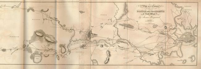
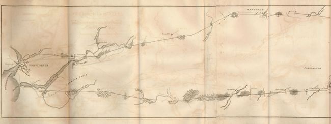
This rare map, dated Jan.1828, and published by Annin & Smith, shows the railway route in good detail with topographical information and towns, buildings, rivers, bridges and much more. It appears to show two proposed routes, both arriving in Providence. The northernmost route begins near the house of Madam Swan on the road between Roxbury to the South Boston Turnpike, and the southern route begins in Boston proper. Modelski illustrates this map on page 3 noting in the caption that this map is the earliest topographic map in the Library of Congress showing a railroad survey. The map is bound in the original "Report of the Board of Commissioners, of Internal Improvement in Relation to the Examination of Sundry Routes for a Railway from Boston to Providence. With a Memoir of the Survey." (6" x 9.25") published in Boston in 1828 and printed by Dutton & Wentworth. The 72-page report is by Josiah J. Fiske, Chairman of the Board of Internal Improvement to Levi Lincoln, Governor of the Commonwealth of Massachusetts. Printed on deckle-edged paper. Only 1500 reports were originally published, accounting for the rarity of the map, more so with the accompanying report.
References: Modelski 348.
Condition: B+
The map is very good. The report has some light scattered foxing.