Catalog Archive
Auction 128, Lot 128

"An Accurate Map of North America, Drawn from the best Modern Maps and Charts and regulated by Astron. Observat. By Eman. Bowen, Geogr. To his Majesty", Bowen, Emanuel

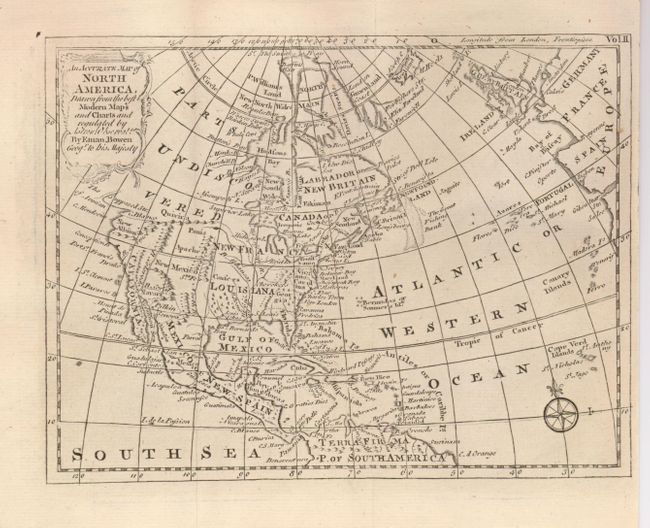
Subject: North America

Period: 1777 (circa)

Publication: An Account of the European Settlements in America

Color: Black & White

Size:
8 x 6 inches
20.3 x 15.2 cm
Download High Resolution Image
(or just click on image to launch the Zoom viewer)

This copper engraved map was the frontispiece to Vol. II of Edmund Burke's work. The map extends to include all of the Caribbean Islands. New France and Louisiana occupy the Midwest; western Canada is labeled 'Parts Undiscovered'. Santa Fe and several Indian tribes are located in the Southwest. The Northwest Passage is hinted with an unclosed "Supposed Str. Of Annian." The Colorado River is named and correctly flows into the Sea of Cortez. In Texas is Senis Tekas. Great Britain and part of Europe are seen at right. Fancy rococo-style title cartouche and compass rose embellish this compact map.

References:

Condition: A+

Estimate: $150 - $180

Sold for: $110

Closed on 5/20/2009

Archived