Subject: Atlases
Period: 1882 (published)
Publication:
Color: Hand Color
Size:
13 x 15.5 inches
33 x 39.4 cm
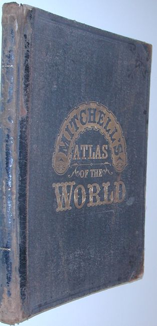
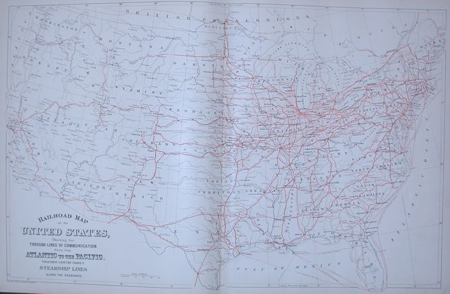
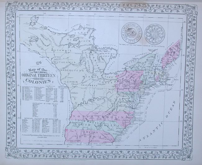
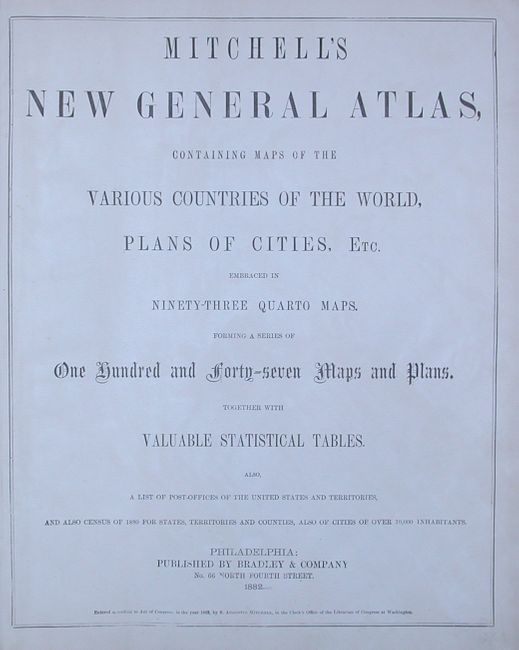
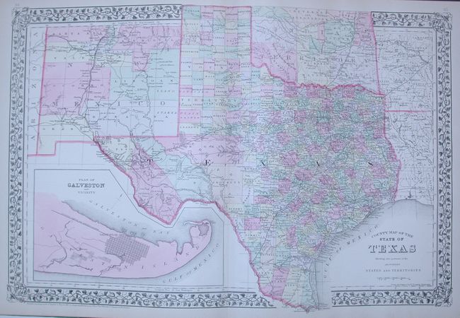
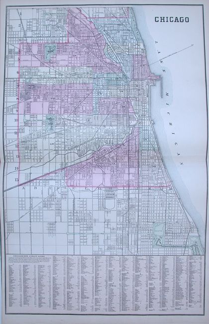
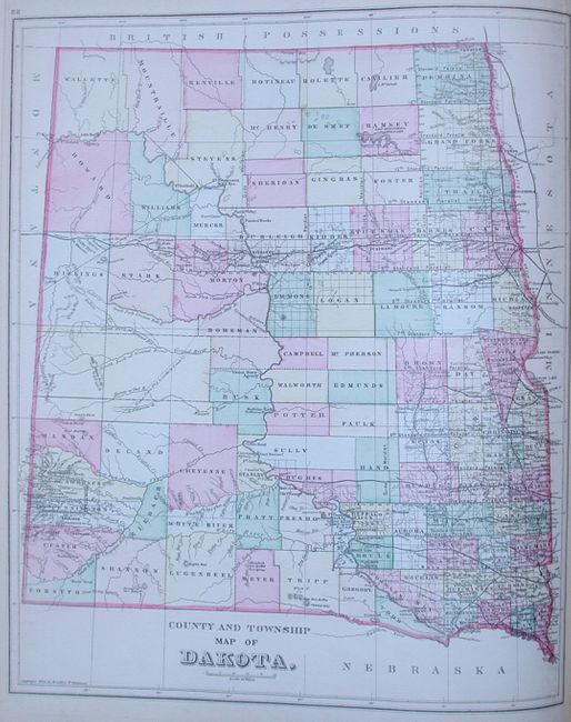
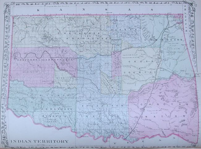
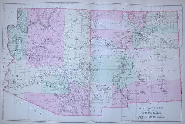
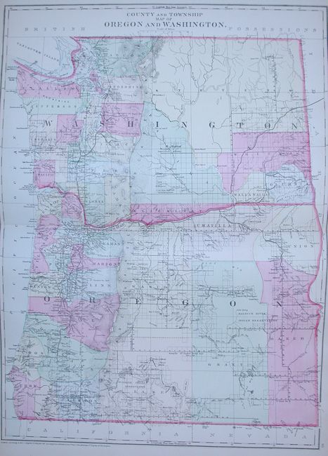
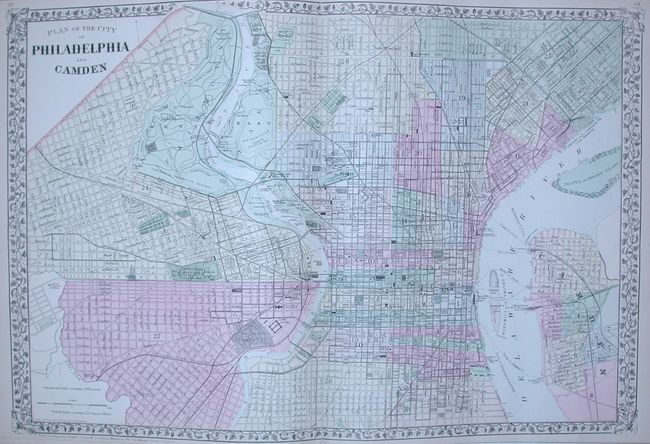
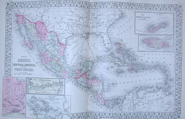
This is a very nice and complete example of this atlas which contains 147 maps and plans on 76 sheets, most surrounded by a grapevine border and dated 1882. More than 50 maps are related to the United States with individual states, regions and city plans. There are several double-page maps with a few single sheet maps printed on the verso. This example includes the Railroad Map of the United States… and a charming Map of the Original Thirteen Colonies that has engraved examples of the "first money coined by the United States." A spectacular double-page plan of Chicago includes a street index in the lower margin. Other maps of interest include County and Township Map of Arizona and New Mexico, the County and Township Map of Dakota, a fine map of California and another of Texas. Hardbound in original brown cloth with quarter calf spine and tips and gilt title on front. Small folio atlas published in Philadelphia by Bradley & Company. A very nice example of this increasingly difficult to obtain atlas.
References:
Condition: A
The contents and maps are fine with generally clean paper, fine original hand coloring and bright impressions. The covers are bumped and a little worn particularly along spine. With a little binding work this will be a spectacular example.