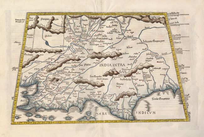
Subject: India
Period: 1535 (published)
Publication: Claudii Ptolemaei Alexandrini Geographicae…
Color: Hand Color
Size:
19 x 11.5 inches
48.3 x 29.2 cm
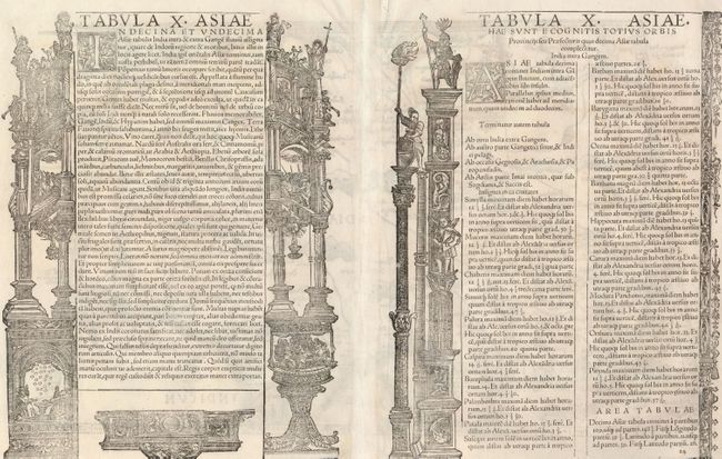
A nice example of this early and desirable Ptolemaic map of India, which is depicted in a distorted form with a severely truncated peninsula. The map presents the mountains, rivers and places compiled by the Alexandrian geographer, which though crude and confusing, is a remarkable view of the region between the deltas of the Indus and Ganges Rivers, both of which are shown. The title is on the verso along with Latin text within architectural woodcut illustrations attributed to Hans Holbein of Basel. The map was published in Lyon by Melchior and Gaspar Treschsel, with text edited by Michael Villanovus, better known as Servetus, who was burned at the stake in 1553 for heresy. Calvin had many copies of the 1535 atlas confiscated and burned with Servetus; thus the maps are quite scarce.
References: Mickwitz & Miekkavaara (Nordenskiold Vol. 2) #209-43.
Condition: B+