Catalog Archive
Auction 127, Lot 707
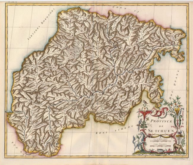
"Province de Se-Tchuen", Anville, Jean Baptiste Bourguignon d'
Subject: China
Period: 1735 (circa)
Publication: Du Halde's Description Geographique, Historique ... de la Chine
Color: Hand Color
Size:
19 x 16 inches
48.3 x 40.6 cm
Download High Resolution Image
(or just click on image to launch the Zoom viewer)
(or just click on image to launch the Zoom viewer)