Catalog Archive
Auction 127, Lot 390

"Isle de la Jamaique", Laporte, Joseph de
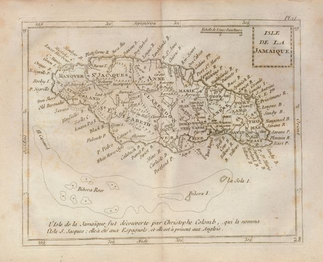
Subject: Jamaica

Period: 1780 (circa)

Publication: Atlas Moderne Portatif

Color: Black & White

Size:
8.5 x 7 inches
21.6 x 17.8 cm
Download High Resolution Image
(or just click on image to launch the Zoom viewer)

This small map of the island carries a great amount of topographical detail with many place names. Settlements and villages, roads, ports, and forts are located. To the south, the shoals, or rocks, and small islands are detailed. The note along the bottom attributes the discovery of Jamaica to Christopher Columbus. Block-style title cartouche has a chain design. Every parish is delineated with engraved line and named.

References:

Condition: B+

A few light foxing marks or ink offsetting, otherwise very good. Full margins with deckle edges.

Estimate: $120 - $140

Unsold

Closed on 2/25/2009

Archived