Subject: Western United States
Period: 1889 (dated)
Publication: Steiler's Hand Atlas
Color: Hand Color
Size:
16 x 13 inches
40.6 x 33 cm
In the Germany style, these maps are beautifully engraved with fine lines. Together the maps cover the Western United States.
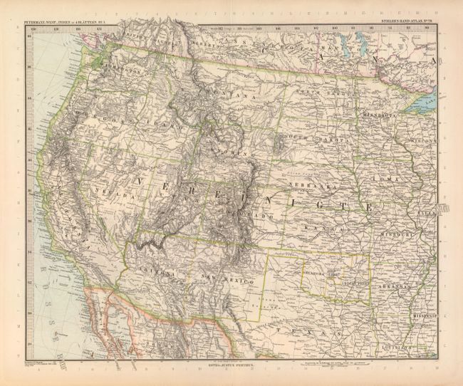
1) "West-Indien in 4 Blattern, B1.4" covers the western half of the U.S from St. Louis to the Pacific Ocean.
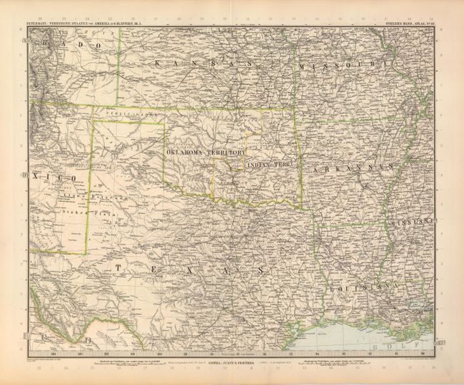
2) "Vereinigte Staaten von Amerika in 6 Blattern, Bl. 5" is centered on Indian Territory and Texas and also shows Arkansas and Louisiana with parts of Missouri and Kansas. In Texas the map extends south to below San Antonio and Houston, and in the west stops just short of El Paso.
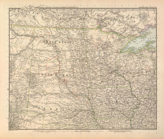
3) "Vereinigte Staaten von Amerika in 6 Blattern, Bl. 2" details the Midwest showing the states of Wisconsin, Iowa, Minnesota, Nebraska and the Dakotas.
References:
Condition: B+
Map images have fine original color and precise impression. A little light offsetting in Texas and toning or soiling in blank margins.