Catalog Archive
Auction 126, Lot 792
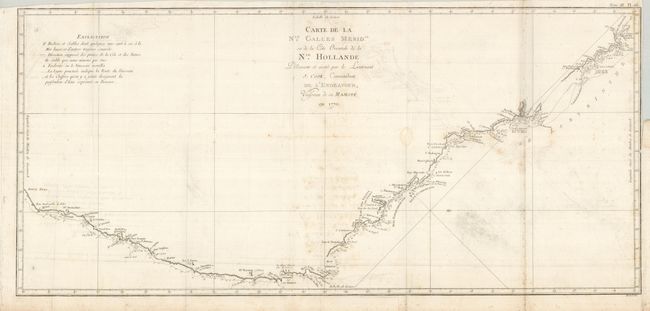
"Carte de la Nle. Galles Merid. ou de la Cote Oriental de la Nle. Hollande Decouverte et Visitee par le Lieutenant J. Cook, Commandant de l'Endeavor, Vaisseau de sa Majeste en 1770", Cook/Benard

Subject: Australia
Period: 1774 (circa)
Publication:
Color: Black & White
Size:
30.5 x 14 inches
77.5 x 35.6 cm
Download High Resolution Image
(or just click on image to launch the Zoom viewer)
(or just click on image to launch the Zoom viewer)

