Catalog Archive
Auction 126, Lot 558

"Carte des Cercles du Haut et du Bas Rhin ou se trouvent dans le premier…", Robert de Vaugondy, Didier
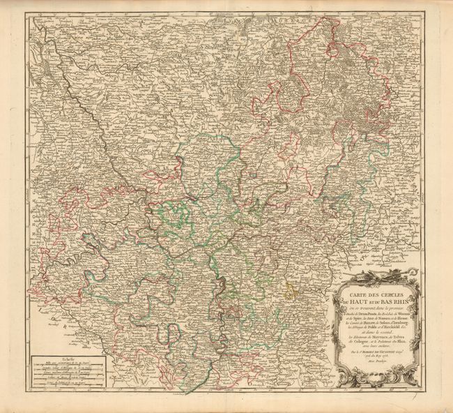
Subject: Germany

Period: 1753 (dated)

Publication: Atlas Universal

Color: Hand Color

Size:
19.8 x 18.8 inches
50.3 x 47.8 cm
Download High Resolution Image
(or just click on image to launch the Zoom viewer)

Large and very detailed map of the Rheinland-Pfalz region with decorative title cartouche and five distance scales. Detailed with literally hundreds of place names, rivers, forests, abbeys, roads and rivers. Near the center of the map a vestige of the Roman Retrenchmen (Psalgraben) is noted.

References: Pedley #267.

Condition: A

Nice impression and original outline color. Couple of minor tears in margins, well away from map.

Estimate: $150 - $200

Unsold

Closed on 12/3/2008

Archived