Catalog Archive
Auction 126, Lot 524
"[Lot of 10 - French Fortification Plans]", Tassin, Christophe Nicholas
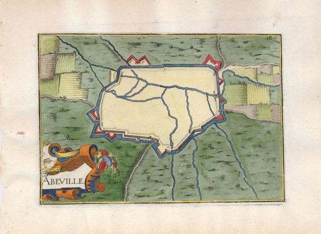
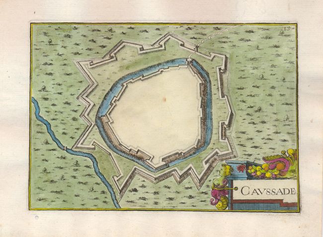
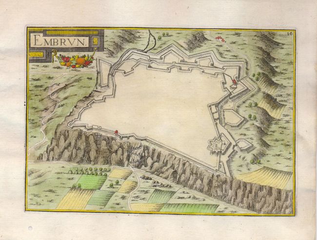
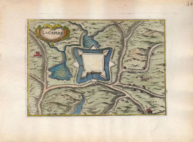
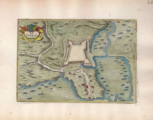
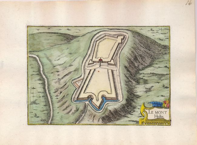
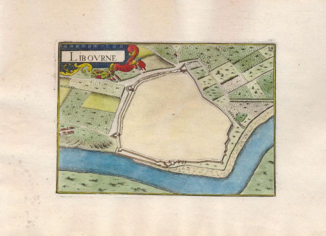
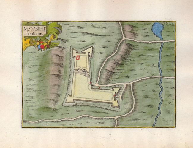
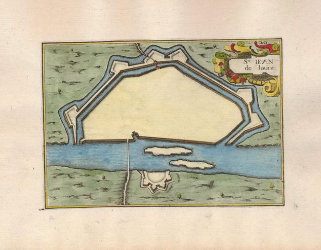
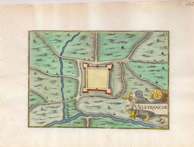
Subject: France
Period: 1631-44 (published)
Publication: Les Plans et Profils de Toutes les Principales Villes…
Color: Hand Color
Size:
6 x 4 inches
15.2 x 10.2 cm
Download High Resolution Image
(or just click on image to launch the Zoom viewer)
(or just click on image to launch the Zoom viewer)