Catalog Archive
Auction 126, Lot 489

"Carte du Royaume d'Irlande", Laporte, Joseph de
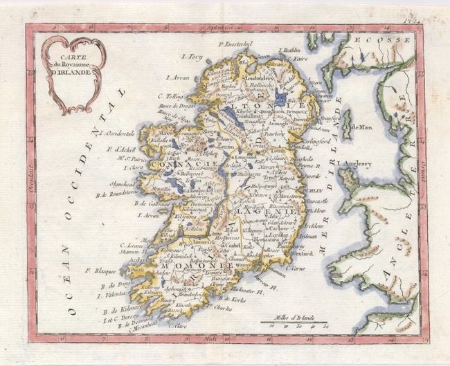
Subject: Ireland

Period: 1780 (published)

Publication:

Color: Hand Color

Size:
8.5 x 7 inches
21.6 x 17.8 cm
Download High Resolution Image
(or just click on image to launch the Zoom viewer)

This finely engraved smaller map of Ireland is outlined by regions. Part of England is to the east and the islands of Anglesey and Man are located. The distance scale is in Irish miles. A rococo-style title cartouche accents the delicate composition.

References:

Condition: A

A near fine example with strong impression with very nice hand coloring. A few marginal spots in upper right corner and an internal tear at lower left that is closed on verso.

Estimate: $150 - $180

Sold for: $100

Closed on 12/3/2008

Archived