Catalog Archive
Auction 126, Lot 408

"[Lot of 2] Map of South America, Showing its Political Divisions [and] Map of New Granada Venezuela, and Guiana [on sheet with] Map of Peru, and Ecuador [and] Map of the Argentine Confederation", Mitchell, Samuel Augustus

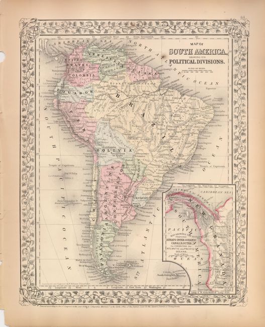
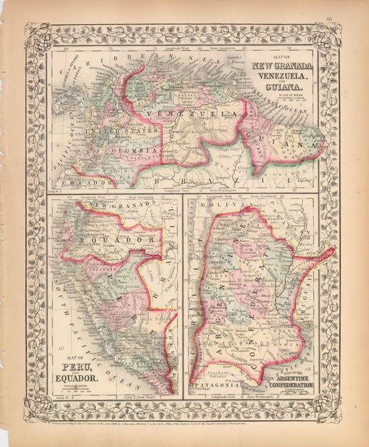
Subject: South America

Period: 1870 (dated)

Publication: Mitchell's New General Atlas

Color: Hand Color

Size:
10.5 x 13.3 inches
26.7 x 33.8 cm
Download High Resolution Image
(or just click on image to launch the Zoom viewer)

The first shows the continent with good detail and a large inset of New Granada featuring "The Proposed Atrato-Inter-Oceanic Canal Routes, for Connecting the Atlantic and Pacific Oceans" (the Isthmus of Panama). The second has three detailed maps within the decorative border. New Granada is also named "United States of Columbia". The maps locate Monte Video, Quito, Lima, Truxillo, Bogata and much more. Both are beautifully colored in an original hand and feature decorative grapevine borders.

References:

Condition: B+

With one or two small spots in both.

Estimate: $120 - $160

Unsold

Closed on 12/3/2008

Archived