Subject: Ohio
Period: 1872 (dated)
Publication: New Topographical Atlas of the State of Ohio…
Color: Hand Color
This lot of Ohio maps includes the following maps. Each is surrounded by a delicate engraved border.
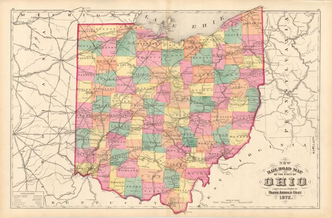
1) "New Railroad Map of the State of Ohio and City of Cincinnati," double page, 24.5 x 16". Very detailed and beautifully colored, map features the extensive railroad network.
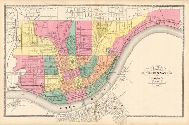
2) "City of Cincinnati," double page, 24.5 x 16". This is a great city plan in beautiful original hand coloring. Individual streets are named and important buildings are located. Fancy letting in title.
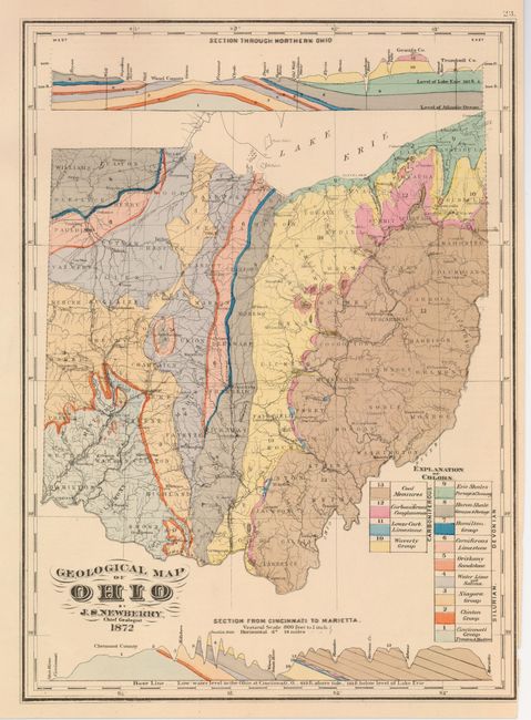
3) "Geological Map of Ohio," 12" x 16". A very colorful map which identifies 13 geological formation and includes detailed sections top and bottom.
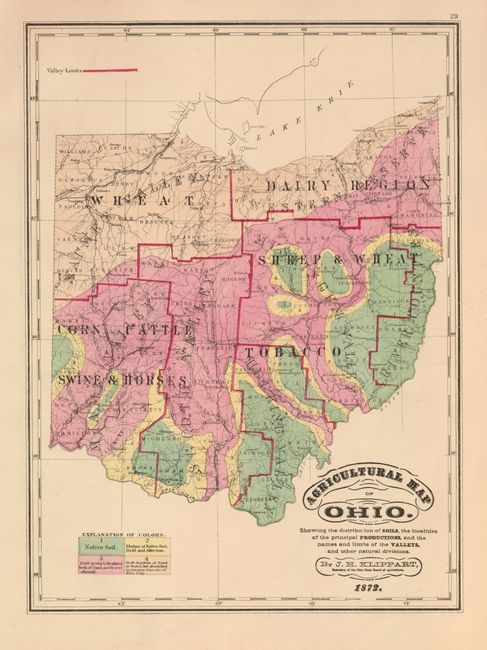
Three thematic maps:
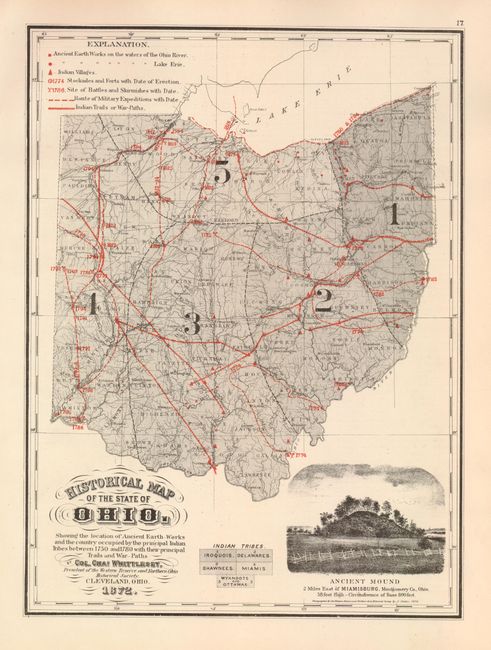
4) Agricultural Map of Ohio; 5) Climatological Map of the State of Ohio; 6) Historical Map of the State of Ohio. Each is approximately 12" x 16" and are beautifully hand colored with much detail.
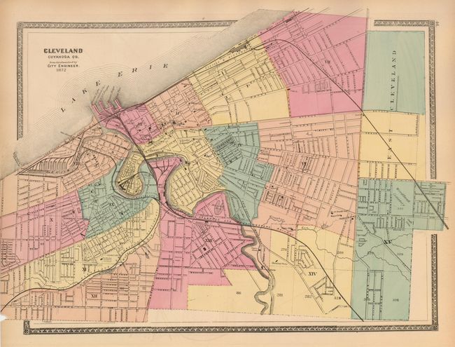
The final four maps are city plans of Dayton, Toledo, Cleveland and Columbus. Each measures approximately 11.8" x 15.8" and is highly detailed with all streets named, important buildings located, railroads delineated and more.
References:
Condition: A
Each map is either very good or fine.