Subject: Mississippi
Period: 1835-42
Publication:
Color:
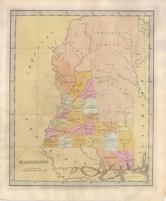
1) Mississippi, Burr/Illman & Pilbrow's Universal Atlas, 1835. Hand-colored map divides the northern portion of the state between the Choctah and Chickasaw Indians. (10.3 x 12.5") Imprint of pressed fern remains. (B+)
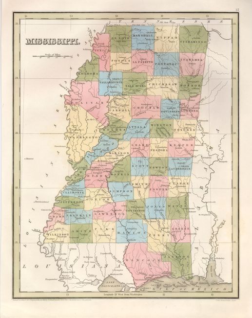
2) Mississippi, T.G. Bradford, 1838. (11 x 14") A fine county map from Bradford's General Atlas. Fine example with original color, crisp impression and clean paper with original margins. From "An Illustrated Atlas." (A+)
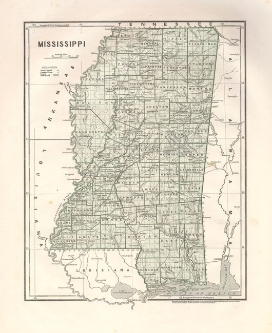
3) Mississippi, Sidney E. Morse and Samuel Breese, 1842, printed color. (11 x 14") This is an early printed color map that covers the state in fine detail including the major roads, railroads, towns, villages, etc. Legend keys to the capital, towns, canals, and railroads. The map was produced with the cerographic process, one of the earliest methods used for color printing in maps. It proved to be too expensive at the time it was introduced by Morse & Breese and did not come into general usage until the later part of the nineteenth century. One spot in map and a few in margins, otherwise fine. (A)
References:
Condition:
See individual descriptions.