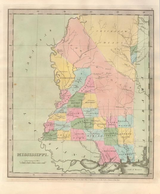
Subject: Mississippi
Period: 1835 (dated)
Publication: New Universal Atlas
Color: Hand Color
Size:
10.5 x 12.3 inches
26.7 x 31.2 cm
This map shows the state with its county organization mostly in the southern half, with Washington, Kazoo, Madison and Monroe the exceptions. Most of the northern half of the state is in the possession of the Choctaw and Chickasaw Indian tribes. Burr was appointed to be topographer to the U.S. Post Office Department in 1832 and was unable to complete the maps for his atlas. Thomas Illman assumed responsibility to complete the atlas, publishing it in 1835 using the New York firm of D.S. Stone. The imprint of Thomas Illman is below the neatline.
References:
Condition: A
Beautiful hand coloring and good impression. One spot in Jackson county and a few others in blank area at left, still very good.


