Subject: Maine
Period: 1838 (published)
Publication: 25th Congress, 2nd Session
Color: Black & White
These maps were published in 1838 as part of Lt. Col. Stephen Long's report. Included are:
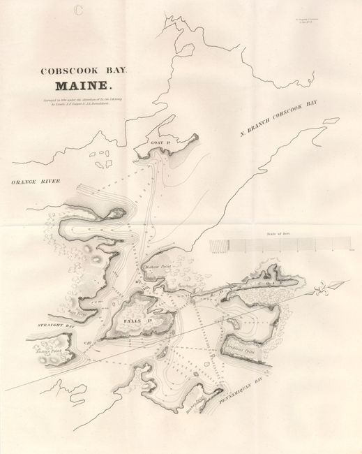
1) "Cobscook Bay. Maine", (12 x 14"). Centered on Falls Island, the map extends to include Goat Island in the north branch of Cobscook Bay, the points of Race, Denbo's, Leigton's, Nutter's, and Mahaw and Fox Island. It also locates the Orange River, Straight Bay, Pennamaquan Bay and Long Cove. North is oriented to the right. Ref: Clausen & Friis #186.
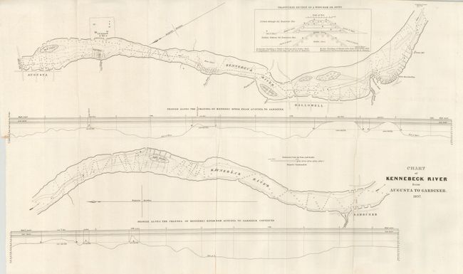
2) "Chart of Kennebeck River from Augusta to Gardiner. 1837", (25.5 x 15"). In the river the islands of Hinckley, Brown and Bush, along with shoals are located. On shore is the Steam Boat Landing, a steam mill, the U.S. Arsenal, Shepard's Point, toll bridges, and Gardiner. Ref: Clausen & Friis #187; Koepp #I-28-1-5.
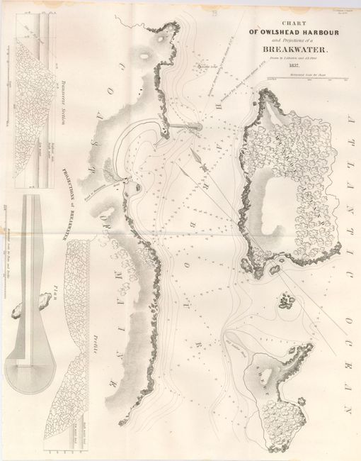
3) "Chart of Owlshead Harbour and Projections of a Breakwater", (12.5 x 15.5"). Locates Sheep Island, Munroe Island, Carr Point, Eagle Ledge, Barrel Ledge, the road to Thomaston and a hotel. The planned breakwater extends over and beyond Eagle Ledge Island. Profile and plan views of the breakwater. North oriented to the lower left. Drawn by T.A. Barton and A.R. Flint. Binding trim at lower right. Ref: Clausen & Friis #185.
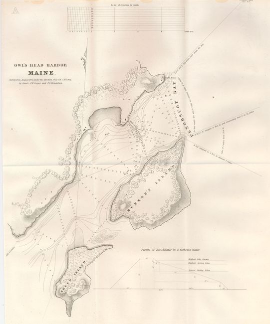
4) "Owl's Head Harbor Maine", (12 x 15"). Shows the same area as the previous map but at a slightly larger view. The harbor and bay are filled with soundings and all of Sheep Island and Munroe's Island are shown. At bottom is a profile of the breakwater which details the water level at various tides. Ref: Clausen & Friis #184.
References:
Condition: A+
Folding as issued. The third map has a little staining at the extreme upper edge. The impression and paper are as fine as we've ever seen from this period.


