Catalog Archive
Auction 126, Lot 275

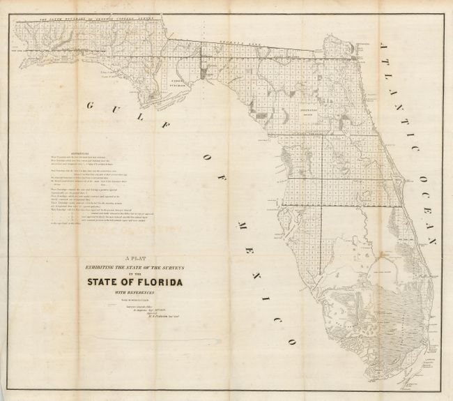
"A Plat Exhibiting the State of the Surveys in the State of Florida", U.S. State Surveys
Subject: Florida

Period: 1849 (dated)

Publication:

Color: Black & White

Size:
25 x 22.4 inches
63.5 x 56.9 cm
Download High Resolution Image
(or just click on image to launch the Zoom viewer)

An interesting and detailed early lithographed map representing the progress of surveying in the state. The Everglades, Big Cypress, Arredondo Grant, Forbes Purchase and numerous forts are clearly shown, and it extends to show Key Largo, here named as Cayo Largo. The map is filled with detailed notes related to surveys and townships. Issued from St. Augustine by R.A. Putnam, Surveyor General, dated September 30, 1849.

References:

Condition: B+

This example is folding, as issued, with full margins. A little foxing or toning in a couple areas and light offsetting from dark impression, else very good.

Estimate: $150 - $180

Sold for: $160

Closed on 12/3/2008

Archived