Subject: Alaska
Period: 1912 (dated)
Publication:
Color: Printed Color
Size:
17 x 14.5 inches
43.2 x 36.8 cm
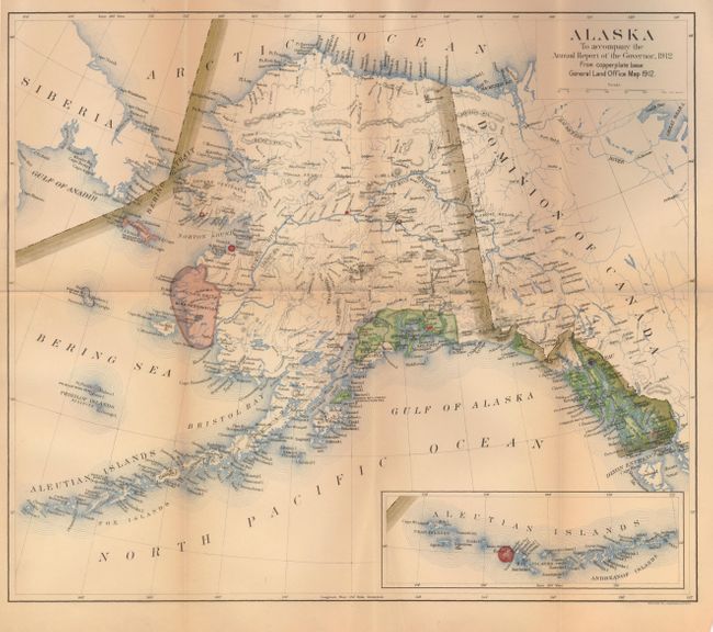
This very handsome map of the territory is filled with a remarkable amount of information. Large insets detail the Aleutian Islands, Sitka, Juneau and Nome. The map shows towns and settlements, National Forests, Military Reserves including Naval and light houses, Indian Reservations, and Reindeer Stations. In the vicinity of Anchorage, Fire Island, Hope and Knik are located but Anchorage is not mentioned. A huge area between the Yukon and Kuskokwim Rivers is designated as the Yukon Delta Bird Reservation. This is an uncommon General Land Office map that was made from the copperplate base map.
References:
Condition: B+
This is a very nice example, folding as issued, with a little fold toning.


