Subject: Northwestern United States
Period: 1866-84 (circa)
Publication:
Color: Hand Color
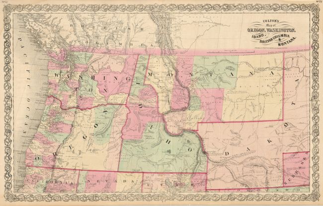
1) Colton's Map of Oregon, Washington, Idaho, British Columbia & Montana, by G.W. & C.B. Colton, copyright dated 1855 and published circa 1866 (26.5 x 16"). Handsome, double-page map that shows the entire Northwest and extends to western Dakota, which incorporates the territory that would become Wyoming. The map is filled with topographical and watershed information. There are numerous mining districts located in Idaho and Montana and both territories have only a few large counties. The area west of the Cascade Mountains shows the most settlement with many towns and settlements. There is remarkable detail of various trails including the Cherokee Trail, Pony Express Route, Overland Mail Route, a proposed route from Gallatin City to Ft. Laramie, and several emigrant roads. Numerous exploration routes include Fremont (1842 & 1845), Stansbury (1849), Donelson (1853), Arnold (1853), McClellan (1853) Mullen (1853), Stevens (1853), and Warren (1855). Forts are marked with a US Flag and many Indian tribes and villages are located. The map is enclosed in a decorative scroll-type border. Text on verso. There are minor damp stains in the upper corners, else fine. (A)
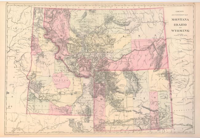
2) County and Township Map Montana Idaho and Wyoming, by William M. Bradley & Bros., dated 1884 (21.5 x 14.6") This is a handsome regional map with nice topographical detail. The map illustrates the sections than have been surveyed in each state and locates settlements, Indian reservations, railroads, mining communities, and forts. Virginia City is the capital of Montana. All three states have early county development. (A+)
References:
Condition:
See descriptions.


