Subject: Western United States
Period: 1892 (circa)
Publication: Atlas to Accompany the Official Records of the Union and Confederate Armies
Color: Printed Color
Size:
27.3 x 16.5 inches
69.3 x 41.9 cm
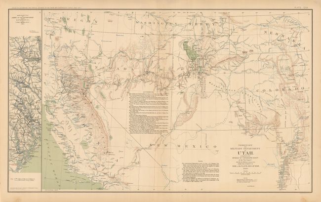
This is Plate CXX. The precisely engraved map is centered on Utah and shows all or parts of Utah, Colorado, Nebraska, Washington Territory, Nevada and California. It is filled with information on forts, Agencies, wagon roads, exploration routes, railroads, and much more. The topography is shown via hachure and the waterways are in blue. The map extends to show good detail around Denver, San Francisco, Rio Grande River valley from Taos and Santa Fe south to Valverde. For a short time Washington Territory was in the shape of an inverted "L" explaining why it is shown above Utah. Extensive list of Authorities and Astronomical Notes. Dated 1860 but published 1892.
References:
Condition: A
Map image is fine, with just a little edge toning or staining restricted to edges. Beautifully colored and printed.


