Subject: Western United States
Period: 1878 (published)
Publication: U.S. Geographical Surveys West of the 100th Meridian
Color: Printed Color
Size:
12.5 x 9 inches
31.8 x 22.9 cm
The following four sheets contain numerous plans of small towns and military forts rarely seen in other publications. Each sheet measures approximately 16" x 11.5". Each is a fine two-tone lithograph. The lot includes the following:
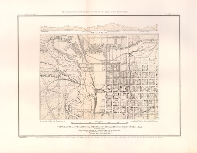
1) "Plate No. 2. Topographical Sketch Showing Observatory Site and Surroundings at Ogden, Utah. Surveyed 1877." This is the best city plan of Ogden we know of. It shows the Weber River, the street plan from First to Eighth, as well as the named streets running north to south. Locates individual buildings. The railroad network is shown in great detail. Above the map is an elevation plan of the Wahsatch Range.
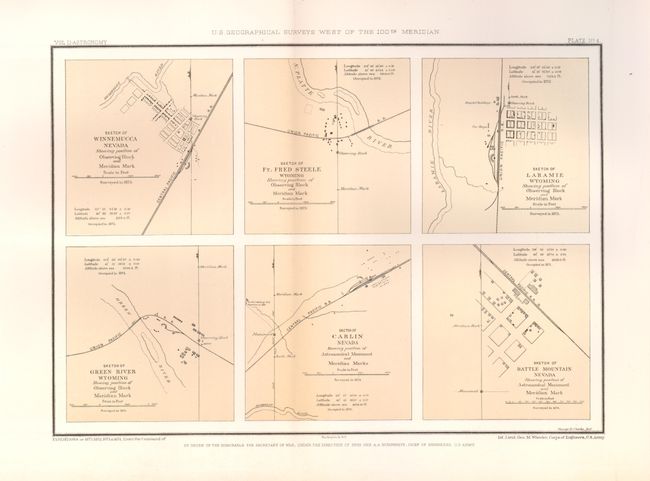
2) "Plate No. 4" contains six individual sketches of Winnemucca, Nevada; Ft. Fred Steele Wyoming; Laramie Wyoming; Green River Wyoming; Carlin Nevada; and Battle Mountain Nevada.
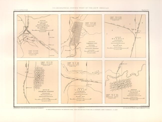
3) "Plate No. 5" contains six individual sketches of Pioche Nevada; Virginia City Nevada; Hughes Colorado; Colorado Springs Colorado; Labran Colorado; and Trinidad Colorado.
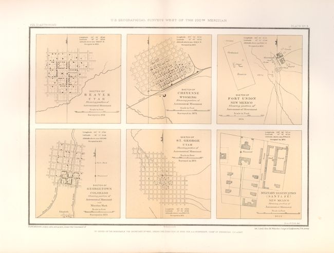
4) "Plate No. 6" has six individual sketches of Beaver Utah; Cheyenne Wyoming; Fort Union New Mexico; Georgetown Colorado; St. George Utah; and the Military Reservation (Santa Fe) New Mexico.
References:
Condition: A+