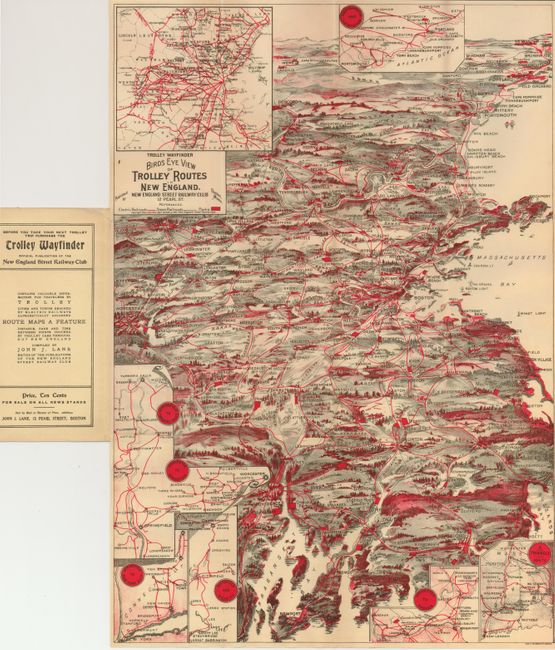
Subject: New England
Period: 1908 (dated)
Publication:
Color: Printed Color
Size:
14 x 20.5 inches
35.6 x 52.1 cm
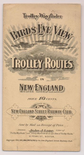
A scarce and very colorful bird's-eye view map of eastern New England with the trolley lines highlighted in red overprinting. Newport and Providence are at bottom, Boston near the middle, Portland near the top and on the horizon are Lewiston and Laconia. Legend identifies Electric Railroads, Steam Railroads and Parks. Seven inset maps detail important routes. The 1907 edition is identical except it has a green color added, where this edition is gray in those areas. This map often has local advertisements on the verso, but this example is blank. Folds into soft engraved covers (4 x 7.5). Published by the New England Street Railway Club of Boston. An uncommon pocket map.
References:
Condition: A+
The map is fine, on clean paper with bright color. The front cover has a trace of soiling mostly near edges.