Subject: Eastern United States
Period: 1833 (circa)
Publication:
Color: Hand Color
Size:
12.3 x 13.8 inches
31.2 x 35.1 cm
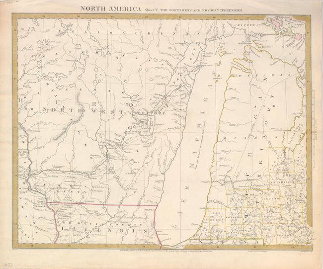
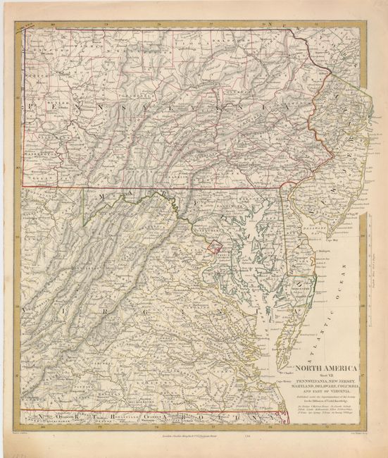
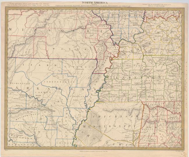
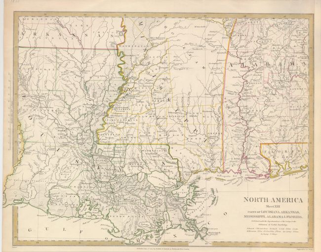
This lot of regional maps provide a remarkable amount of detail including cities, forts, Indian villages, roads, mines, bridges, court houses, post offices, springs and much else of interest. They are from a series of maps of North America published in the first half of the nineteenth century.
1) North America Parts of Wisconsin and Michigan. Sheet V.
2) North America Sheet VII Pennsylvania, New Jersey, Maryland, Delaware, Columbia and Part of Virginia.
3) North America Sheet X Parts of Missouri, Illinois, Kentucky, Tennessee, Alabama, Mississippi and Arkansas.
4) North America Sheet XIII Parts of Louisiana, Arkansas, Mississippi, Alabama & Florida.
References:
Condition: A
Original outline color.