Subject: United States
Period: 1878 (dated)
Publication:
Color: Black & White
Size:
24 x 12 inches
61 x 30.5 cm
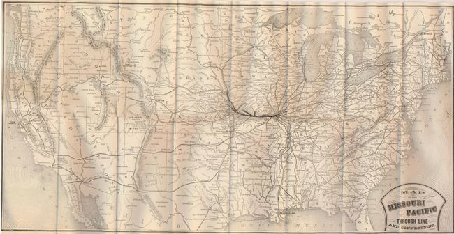
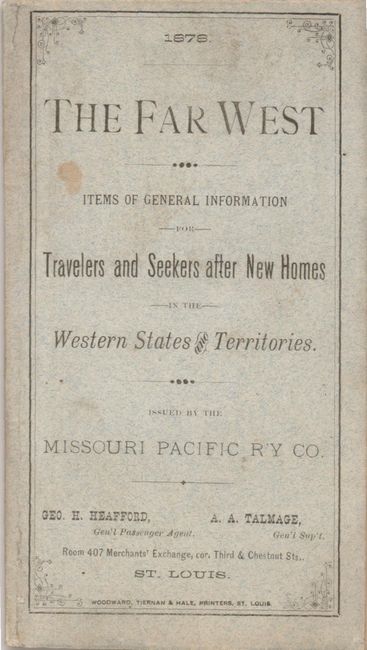
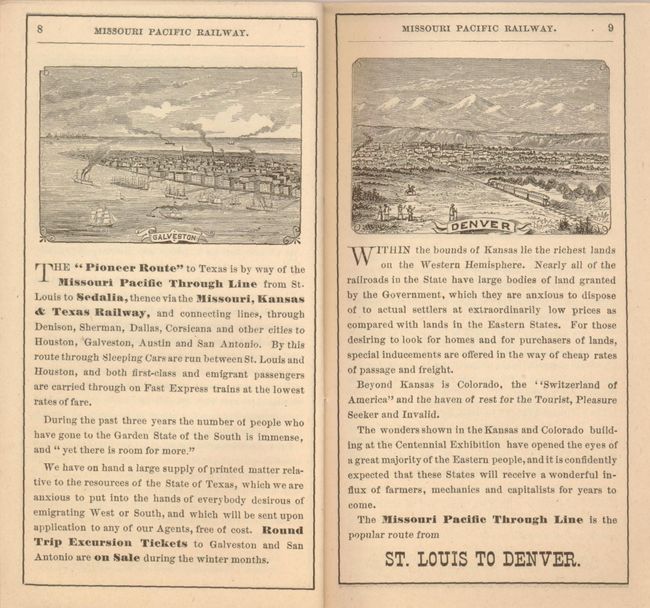
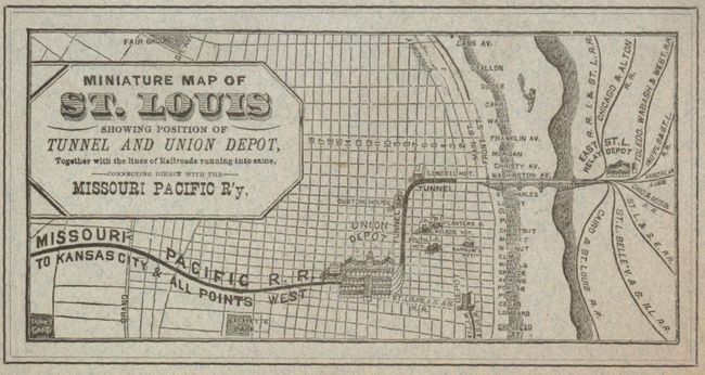
This is an uncommon promotional booklet complete with map that was published by the Missouri Pacific Railway Company to encourage immigration via the railroad. The folding map details the Missouri Pacific Line in bold line from St. Louis to Atchison and Omaha. The connecting lines are also detailed but in a small line. All rail stations are named. Title is in fancy Victorian-style lettering. The 36-page booklet ("The Far West - Items of General Information for Travelers and Seekers after New Homes in the Western States and Territories") describes the Midwestern states to California in text and engravings. The wood engraved views include St. Louis, Sedalia, Kansas City, Atchison, Galveston, Denver and San Francisco. On the back of the booklet is the map "Miniature Map of St. Louis showing position of Tunnel and Union Depot" (6" x 3").
References:
Condition: A+
The map is flawless and the booklet back cover and interior are also fine. The front cover has a little soiling.