Catalog Archive
Auction 125, Lot 849

"Chart of the Society Isles Discovered by Captn. Cook", Cook/Hogg

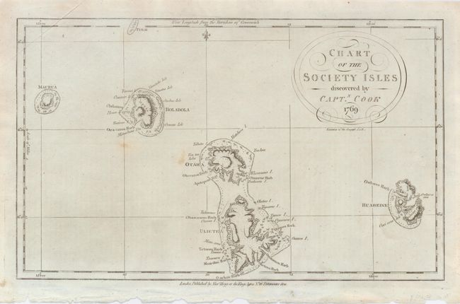
Subject: French Polynesia

Period: 1769 (dated)

Publication:

Color: Black & White

Size:
13.7 x 8.3 inches
34.8 x 21.1 cm
Download High Resolution Image
(or just click on image to launch the Zoom viewer)

This chart shows the four main islands of the western group of French Polynesia. The islands are here called Maurua, Bolabola, Otaha, and Huaheine. It is unclear if Cook mapped Tahiti (Otaho) as a single island; it appears enclosed, with the southern one named Ulietea. Tahiti and Moorea have excellent coastal detail including several place names. Circular title cartouche with fancy lettering.

References:

Condition: B+

Fine impression on hand laid paper. A couple light spots.

Estimate: $100 - $140

Sold for: $210

Closed on 9/24/2008

Archived