Catalog Archive
Auction 125, Lot 766
"Carte de l'Empire de la Chine", Chanlaire & Mentelle
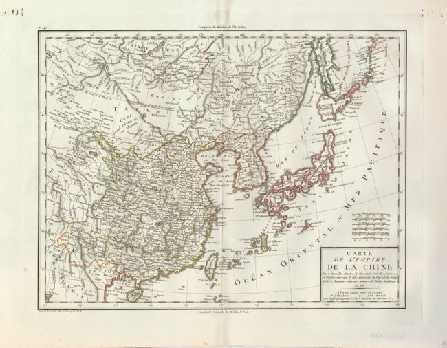
Subject: China, Korea & Japan
Period: 1805 (circa)
Publication: Atlas Universel de Geographie Physique et Politique
Color: Hand Color
Size:
16.8 x 12.8 inches
42.7 x 32.5 cm
Download High Resolution Image
(or just click on image to launch the Zoom viewer)
(or just click on image to launch the Zoom viewer)