Catalog Archive
Auction 125, Lot 525

"Corectissima nec non Novissima Dominii et Provinciae Groningae et Omlandiae Tabula…", Wit, Frederick de

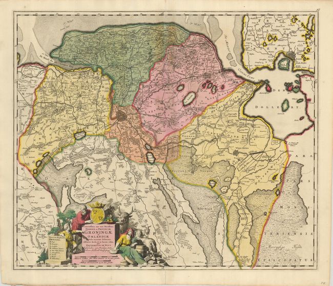
Subject: Netherlands

Period: 1690 (circa)

Publication:

Color: Hand Color

Size:
22.8 x 19.3 inches
57.9 x 49 cm
Download High Resolution Image
(or just click on image to launch the Zoom viewer)

A striking map centered on Groningen that shows portions of the bordering provinces of Drente and Frisland. The map is filled with pictorial representations of the cities and topography. A finely engraved figural cartouche features the agriculture of area, a coat of arms, and incorporates the scale of miles and key.

References:

Condition: B+

A nice example with a dark impression and original color. The centerfold has some toning, an abrasion, and separations at the top and bottom that touch the map border; the lower tear has been reinforced on the verso. Still presents very well.

Estimate: $300 - $400

Sold for: $240

Closed on 9/24/2008

Archived