Catalog Archive
Auction 125, Lot 483

"Scotiae Provinciae Mediterraneae inter Taum Flumen et Cararis Aestuarium: Sunt autem Braid-Allaban, Atholia, Marria Superior, Badenocha, Strath-Spea, Lochabria…", Blaeu, Johannes
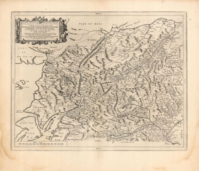
Subject: Scotland

Period: 1654 (circa)

Publication: Atlas Novus

Color: Black & White

Size:
21.7 x 16.2 inches
55.1 x 41.1 cm
Download High Resolution Image
(or just click on image to launch the Zoom viewer)

A beautiful and uncommon map based on the manuscript drafts of Timothy Pont and the revisions of Robert Gordon. The area shown is between the Tay River and Murray Firth, including Loch Ness, part of the Isle of Skye and Mull Island. Timothy Pont surveyed Scotland in the 1580s and 1590s, but his maps were not published in his lifetime. Robert Gordon took Pont's maps, clarified them, and passed them onto Joan Blaeu, who published them in his 1654 Atlas Novus. These maps formed the basis for the cartography of Scotland for the next one hundred years. Dutch text on verso.

References:

Condition: A

A nice impression on a strong sheet with some faint damp stains in the margin and a couple of short tears, not affecting the map.

Estimate: $275 - $350

Unsold

Closed on 9/24/2008

Archived