Subject: England
Period: 1719 (circa)
Publication: An Actual Survey of all Principal Roads of England and Wales
Color: Hand Color
Size:
8 x 6 inches
20.3 x 15.2 cm
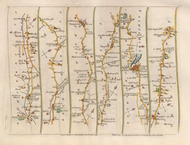
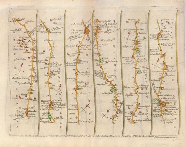
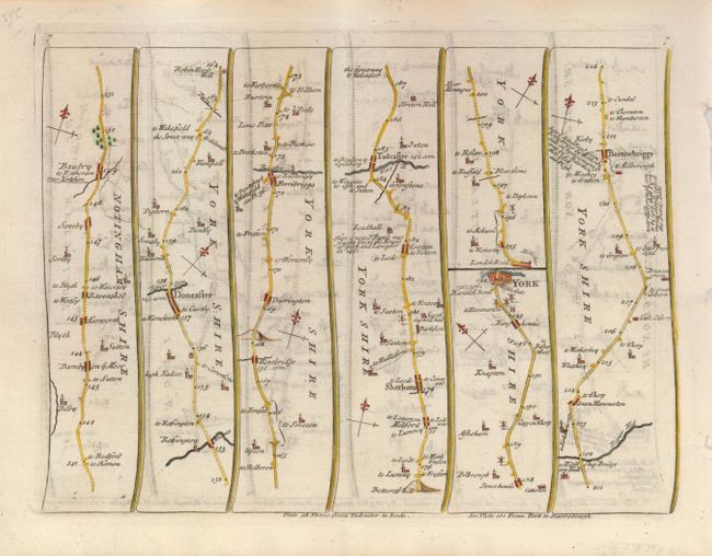
John Senex was one of the leading cartographers of the 18th century. In 1719 he published a small road atlas to meet the demand for travel maps. The popular atlas was re-issued several times until about 1775, including a French edition in 1766. These maps provide a wealth of information including towns, churches, bridges, woods, rivers, wells, battlefields, windmills, and even the birthplace of Sir Isaac Newton. Each map is printed on both sides with a continuous map in strip-form. The first map (plate 22 and 23) covers the road from Towcester, through Daventry, Coventry, Lichfield, Rugeley, Stone, Stableford, Nantwich, Tarporley, to beyond Chester. The second map (plate 6 and 7) covers the road from Stilton, through Stamford, Grantham, Newark, Tuxford, Doncaster, Wentbridge, and Tadcaster, to York.
References:
Condition: B+
#1 has some edge tears and repaired paper loss in the blank margins.