Subject: Cape Verde Islands
Period: 1747-77 (circa)
Publication:
Color: Black & White
This is a nice group of maps of the Cape Verde Islands, which were positioned on the great trade routes between Africa, Europe, and the New World.
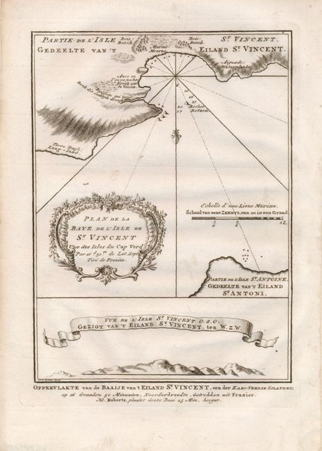
1) Plan de la Baye de l'Isle de St. Vincent une des Isles du Cap Verd (Oppervlakte van de Baaije van't Eiland St. Vincent), by Bellin/van Schley, from a Dutch edition of Prevost's "L'Histoire Generale des Voyages," 1747 (5.8 x 8").
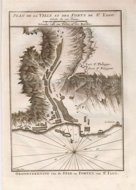
2) Plan de la Ville et des Forts de St. Yago (Grondtekening van de Stad en Forten van St. Iago), by Bellin/van Schley, from a Dutch edition of Prevost's "L'Histoire Generale des Voyages," 1747 (5.8 x 8").
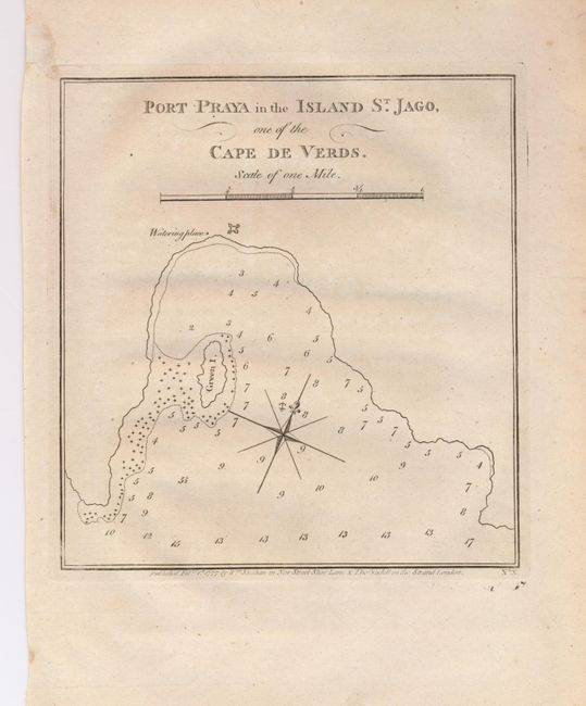
3) Port Praya in the Island St. Jago, one of the Cape de Verds, by William Strahan and Thomas Cadell, from "Cook's Voyages" (Vol. 1), 1777 (7 x 7.3").
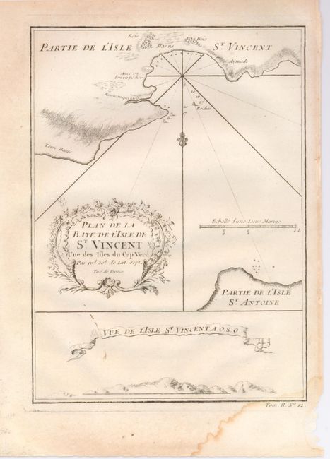
4) Plan de la Baye de l'Isle de St. Vincent une des Isles du Cap Verd / Vue de l'Isle St. Vincent, A.O.S.O., by Bellin, from Prevost's "L'Histoire Generale des Voyages," circa 1750, (6 x 8").
References:
Condition: A
There is a stain in the lower right margin of #4, else all very good.